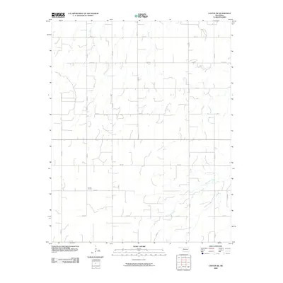
2009 Map of Canton SW
USGS Topo · Published 2009About this map
Minnehaha Creek winds through this rural section of Oklahoma, defining a landscape of agriculture and scattered family homesites in the late 2000s. The area is gridded by a precise network of county roads including E0620 Rd and N2420 Rd, reflecting the systematic land division typical of the Great Plains. Fountain Cemetery, located along E0680 Rd, serves as a primary point of interest for genealogists and local historians, anchoring the community's heritage in the southern portion of the quadrangle. This 2009 survey reflects the transition toward digital mapping while preserving the essential landmarks of rural life, from unnamed ponds and drainages to the essential section-line roads that facilitate movement through the open plains of Blaine County.
Find a feature on this map
17 named features on this map. Tap any name to fly to it.
Don’t see what you’re looking for? This feature index may not catch every label — zoom into the map to look around manually.
Map Details
Editions of this 2009 Canton SW Map
This is the sole edition of this map. No revisions or reprints were ever made.
Other maps of this area

1955 · Clinton
USGS Topo · 1:250,000

1955 · Woodward
USGS Topo · 1:250,000

1957 · Clinton
USGS Topo · 1:250,000

1958 · Woodward
USGS Topo · 1:250,000

1962 · Putnam
USGS Topo · 1:62,500

1964 · Oakwood
USGS Topo · 1:62,500

1972 · Longdale
USGS Topo · 1:24,000

1972 · Canton NW
USGS Topo · 1:24,000

1972 · Canton
USGS Topo · 1:24,000

1972 · Hucmac
USGS Topo · 1:24,000