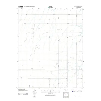
2012 Map of Canton SW
USGS Topo · Published 2012About this map
Fountain Cem is a prominent landmark in this section of Blaine County, situated at the intersection of E0680 Rd and N2400 Rd. This 2012 survey illustrates the grid-based rural development of the Oklahoma prairie, where section line roads like E0620 Rd and N2450 Rd define the landscape. The drainage of Minnehaha Cr winds through the southeastern corner, providing a natural break in the strictly rectilinear network of agricultural parcels. The map provides a clear look at the spatial organization of these rural townships, documenting the exact placement of local access roads such as E0670 Rd and N2410 Rd which served the local farming community in the early 21st century.
Find a feature on this map
18 named features on this map. Tap any name to fly to it.
Don’t see what you’re looking for? This feature index may not catch every label — zoom into the map to look around manually.
Map Details
Editions of this 2012 Canton SW Map
This is the sole edition of this map. No revisions or reprints were ever made.
Other maps of this area

1955 · Clinton
USGS Topo · 1:250,000

1955 · Woodward
USGS Topo · 1:250,000

1957 · Clinton
USGS Topo · 1:250,000

1958 · Woodward
USGS Topo · 1:250,000

1962 · Putnam
USGS Topo · 1:62,500

1964 · Oakwood
USGS Topo · 1:62,500

1972 · Longdale
USGS Topo · 1:24,000

1972 · Canton NW
USGS Topo · 1:24,000

1972 · Canton
USGS Topo · 1:24,000

1972 · Hucmac
USGS Topo · 1:24,000