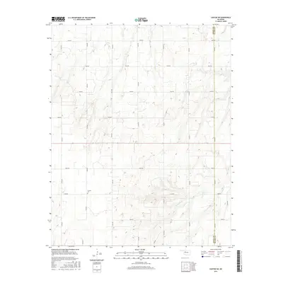
2016 Map of Canton SW
USGS Topo · Published 2016About this map
Fountain Cem is a central landmark in this landscape defined by the section-line road network of northwestern Oklahoma. Situated near the intersection of N2400 Rd and E0680 Rd, the cemetery serves as a vital anchor for genealogists and local historians tracing family lineages in this rural township. The terrain is marked by the winding course of Minnehaha Cr, which cuts through the southeastern portion of the map, providing a natural break in the otherwise rigid agricultural grid. The boundary between Dewey Co and Blaine Co runs along the western and eastern margins, illustrating the administrative divisions that shaped early settlement and property lines. This topographical survey captures the area's transition from early pioneer homesteading to a mature agricultural landscape, where the naming of rural routes like E0620 Rd and N2450 Rd reflects modern rural addressing systems laid over historical land patterns.
Find a feature on this map
21 named features on this map. Tap any name to fly to it.
Don’t see what you’re looking for? This feature index may not catch every label — zoom into the map to look around manually.
Map Details
Editions of this 2016 Canton SW Map
This is the sole edition of this map. No revisions or reprints were ever made.
Other maps of this area

1955 · Clinton
USGS Topo · 1:250,000

1955 · Woodward
USGS Topo · 1:250,000

1957 · Clinton
USGS Topo · 1:250,000

1958 · Woodward
USGS Topo · 1:250,000

1962 · Putnam
USGS Topo · 1:62,500

1964 · Oakwood
USGS Topo · 1:62,500

1972 · Longdale
USGS Topo · 1:24,000

1972 · Canton NW
USGS Topo · 1:24,000

1972 · Canton
USGS Topo · 1:24,000

1972 · Hucmac
USGS Topo · 1:24,000