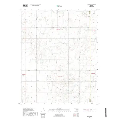
2018 Map of Canton SW
USGS Topo · Published 2018About this map
The Dewey Co Blaine Co boundary divides the landscape of this 2018 survey, where the rolling plains are primarily defined by the rigid grid of the Public Land Survey System. The area is characterized by agricultural section lines and intermittent drainage, notably Minnehaha Cr, which meanders through the southeastern portion of the quadrangle. A significant point of interest for local history is the Fountain Cem, located just south of E0680 Rd. This burial site serves as a quiet landmark amidst the expansive network of county roads like N2400 Rd and E0640 Rd. The map illustrates a contemporary rural Oklahoma landscape where traditional land divisions remain the primary structural element for navigation and property.
Find a feature on this map
25 named features on this map. Tap any name to fly to it.
Don’t see what you’re looking for? This feature index may not catch every label — zoom into the map to look around manually.
Map Details
Editions of this 2018 Canton SW Map
This is the sole edition of this map. No revisions or reprints were ever made.
Other maps of this area

1955 · Clinton
USGS Topo · 1:250,000

1955 · Woodward
USGS Topo · 1:250,000

1957 · Clinton
USGS Topo · 1:250,000

1958 · Woodward
USGS Topo · 1:250,000

1962 · Putnam
USGS Topo · 1:62,500

1964 · Oakwood
USGS Topo · 1:62,500

1972 · Longdale
USGS Topo · 1:24,000

1972 · Canton NW
USGS Topo · 1:24,000

1972 · Canton
USGS Topo · 1:24,000

1972 · Hucmac
USGS Topo · 1:24,000