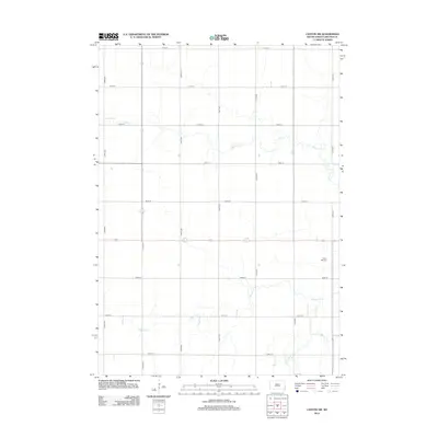
2012 Map of Canton SW
USGS Topo · Published 2012About this map
Forest Hill Cem stands as a primary landmark in this rural stretch of Lincoln County, marking a localized pocket of history amidst an expansive agricultural landscape. The terrain is defined by a dendritic network of waterways, primarily the meandering Beaver Cr and its tributaries, S Beaver Cr and Little Beaver Cr, which dictate the drainage patterns of the region. The map reveals a highly structured section-line road system, including 277th St and 473rd Ave, reflecting the enduring legacy of the Public Land Survey System in South Dakota. This 2012 snapshot captures the area in its modern agricultural state, where the intersection of natural hydrology and a rigid transportation grid remains the dominant spatial characteristic.
Find a feature on this map
19 named features on this map. Tap any name to fly to it.
Don’t see what you’re looking for? This feature index may not catch every label — zoom into the map to look around manually.
Map Details
Editions of this 2012 Canton SW Map
This is the sole edition of this map. No revisions or reprints were ever made.
Other maps of this area

1897 · Canton
USGS Topo · 1:125,000

1900 · Canton
USGS Topo · 1:125,000

1955 · Sioux Falls
USGS Topo · 1:250,000

1958 · Sioux Falls
USGS Topo · 1:250,000

1962 · Klondike
USGS Topo · 1:24,000

1962 · Harrisburg
USGS Topo · 1:24,000

1962 · Canton
USGS Topo · 1:24,000

1962 · Tea
USGS Topo · 1:24,000

1964 · Canton SW
USGS Topo · 1:24,000

1964 · Worthing
USGS Topo · 1:24,000