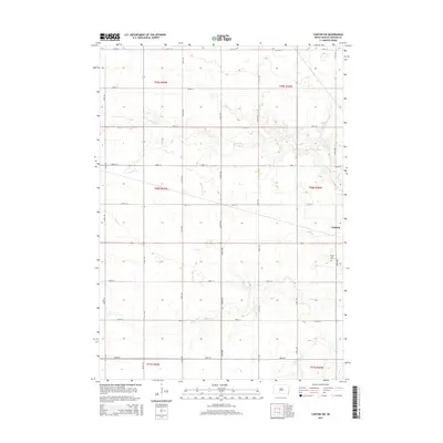
2015 Map of Canton SW
USGS Topo · Published 2015About this map
Beaver Creek and its southern tributaries wind through the agricultural landscape southwest of Canton, defining the drainage patterns of southern Lincoln County. This 2015 U.S. Geological Survey representation details a region structured by a precise mile-grid of rural roads, including 281st St and 476th Ave, which serve the scattered farmsteads and fields. The topography is marked by the gentle elevation changes near the watercourses, particularly where South Beaver Creek and Little Beaver Creek intersect the prairie. For those researching local history or genealogy, the Forest Hill Cemetery remains a prominent landmark on the eastern edge of the survey, situated along the corridor leading toward the primary settlement of Canton.
Find a feature on this map
26 named features on this map. Tap any name to fly to it.
Don’t see what you’re looking for? This feature index may not catch every label — zoom into the map to look around manually.
Map Details
Editions of this 2015 Canton SW Map
This is the sole edition of this map. No revisions or reprints were ever made.
Other maps of this area

1897 · Canton
USGS Topo · 1:125,000

1900 · Canton
USGS Topo · 1:125,000

1955 · Sioux Falls
USGS Topo · 1:250,000

1958 · Sioux Falls
USGS Topo · 1:250,000

1962 · Klondike
USGS Topo · 1:24,000

1962 · Harrisburg
USGS Topo · 1:24,000

1962 · Canton
USGS Topo · 1:24,000

1962 · Tea
USGS Topo · 1:24,000

1964 · Canton SW
USGS Topo · 1:24,000

1964 · Worthing
USGS Topo · 1:24,000