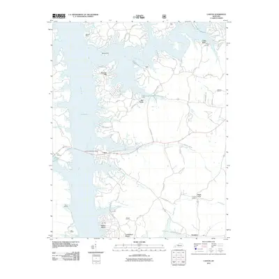
2010 Map of Canton
USGS Topo · Published 2010About this map
Lake Barkley dominates the western half of this Trigg County landscape, defining the character of the shorelines and the modern development patterns of the early 21st century. The Lawrence Memorial Bridge provides a primary crossing at Canton, connecting the eastern uplands to the water-oriented communities of Barkley Shores and Cumberland Shores. The map reveals a mix of older rural foundations and newer residential growth, where winding roads like Canton Blue Spg Rd lead to points of local significance such as Blue Spring. Family and community history is preserved through numerous burial grounds scattered across the terrain, including Liberty Point Cemetery near Cedar Point and Mcintire Cemetery. Small settlements like Donaldson and Maple Grove remain positioned along traditional routes, while prominent landforms such as Hillman Bluff and Mineral Hill rise above the complex network of inlets and creek valleys that feed into the lake.
Find a feature on this map
66 named features on this map. Tap any name to fly to it.
Don’t see what you’re looking for? This feature index may not catch every label — zoom into the map to look around manually.
Map Details
Editions of this 2010 Canton Map
This is the sole edition of this map. No revisions or reprints were ever made.
Other maps of this area

1936 · Mont
USGS Topo · 1:24,000

1936 · Fenton
USGS Topo · 1:24,000

1936 · Golden Pond
USGS Topo · 1:48,000

1936 · Rushing
USGS Topo · 1:24,000

1950 · Rushing Creek
USGS Topo · 1:24,000
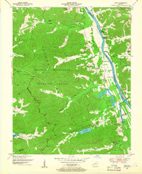
1950 · Mont
USGS Topo · 1:24,000
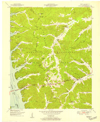
1950 · Fenton
USGS Topo · 1:24,000

1951 · Model
USGS Topo · 1:24,000

1951 · Johnson Hollow
USGS Topo · 1:24,000

1953 · Canton
USGS Topo · 1:24,000