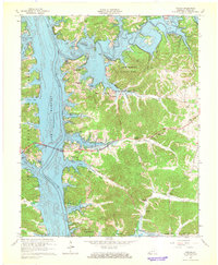
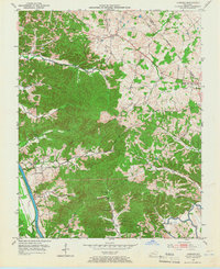
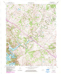
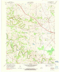
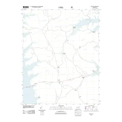
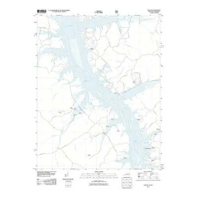
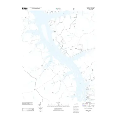
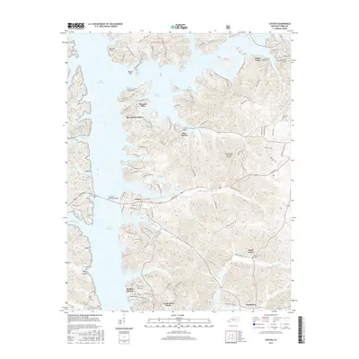
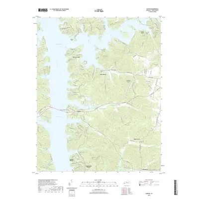
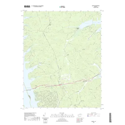
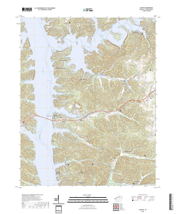
1967 Map of Canton
USGS Topo · Published 1968About this map
The Cumberland River dominates this mid-century landscape, newly transformed into Lake Barkley with a documented normal pool elevation of 359 feet. The settlement of Canton sits at a historic crossing point, now connected by the Lawrence Mem Bridge as the river widens into expansive bays like Pond Bay and Crooked Creek Bay. This era shows the early development of recreational and residential areas following the lake's creation, including Shawnee Hills and Blue Spring Estates, alongside the established Lake Barkley State Park.
Find a feature on this map
54 named features on this map. Tap any name to fly to it.
Don’t see what you’re looking for? This feature index may not catch every label — zoom into the map to look around manually.
Map Details
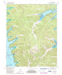
Editions of this 1967 Canton Map
2 editions found
Historical Maps of Cumberland Shores Through Time
59 maps found
1936 Fenton
Trigg County, KY

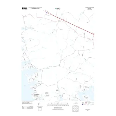
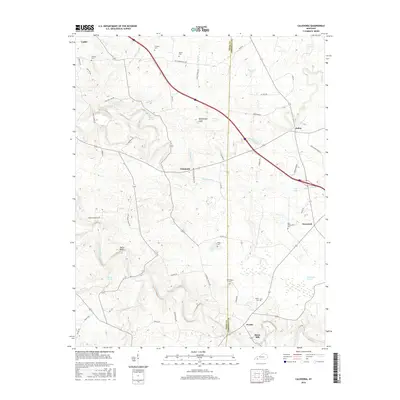
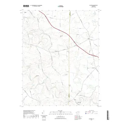
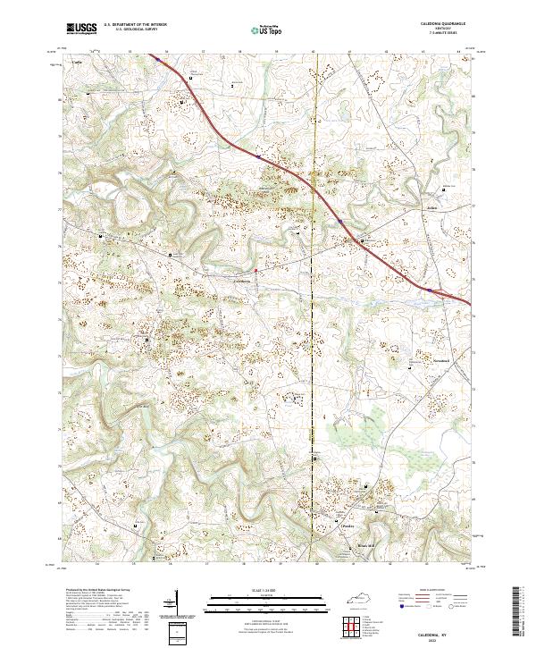
1950 Caledonia
Trigg County, KY
1950 Fenton
Trigg County, KY

1951 Caledonia
Trigg County, KY

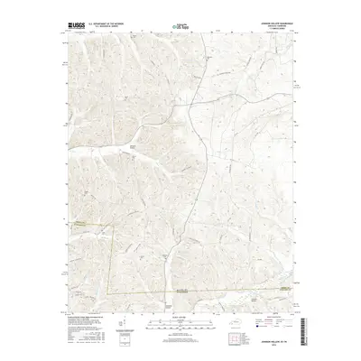
1951 Johnson Hollow
Trigg County, KY

1951 Model
Trigg County, KY

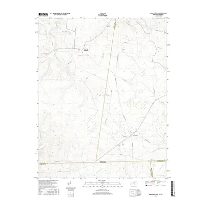
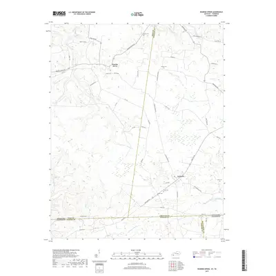
1951 Roaring Spring
Trigg County, KY
1953 Canton
Trigg County, KY

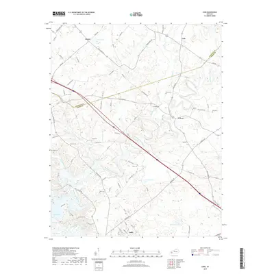
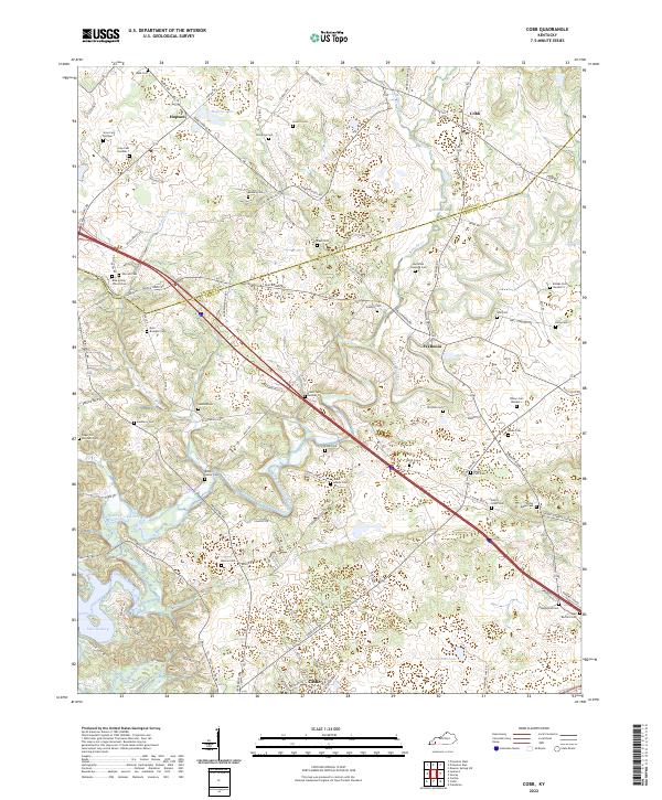
1953 Cobb
Trigg County, KY
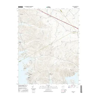
1953 Lamasco
Trigg County, KY
1957 Johnson Hollow
Trigg County, KY

1957 Model
Trigg County, KY
1957 Roaring Spring
Trigg County, KY
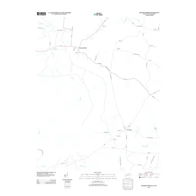
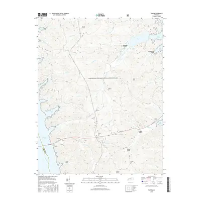
1967 Canton
Trigg County, KY
1967 Cobb
Trigg County, KY
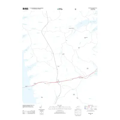
1967 Fenton
Trigg County, KY
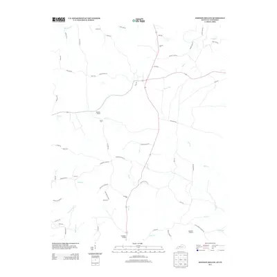
1967 Lamasco
Trigg County, KY
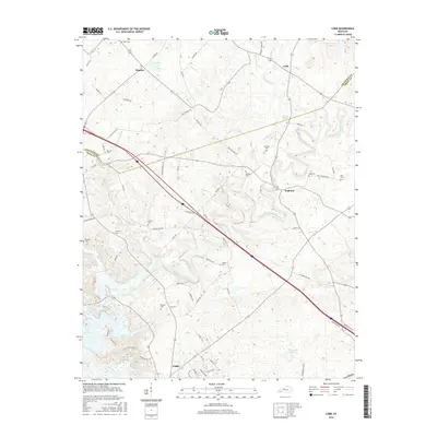
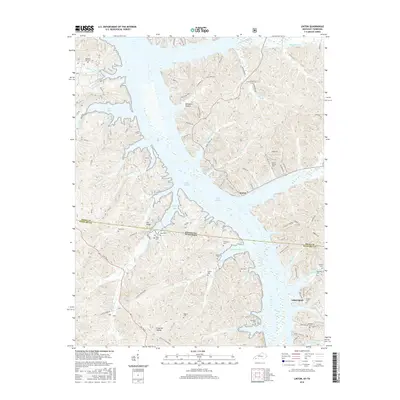
1967 Linton
Trigg County, KY
1974 Caledonia
Trigg County, KY
2010 Caledonia
Trigg County, KY
2010 Canton
Trigg County, KY
2010 Cobb
Trigg County, KY
2010 Fenton
Trigg County, KY
2010 Johnson Hollow
Trigg County, KY
2010 Lamasco
Trigg County, KY
2010 Roaring Spring
Trigg County, KY
2011 Linton
Trigg County, KY
2013 Caledonia
Trigg County, KY
2013 Canton
Trigg County, KY
2013 Cobb
Trigg County, KY
2013 Fenton
Trigg County, KY
2013 Johnson Hollow
Trigg County, KY
2013 Lamasco
Trigg County, KY
2013 Linton
Trigg County, KY
2013 Roaring Spring
Trigg County, KY
2016 Caledonia
Trigg County, KY
2016 Canton
Trigg County, KY
2016 Cobb
Trigg County, KY
2016 Fenton
Trigg County, KY
2016 Johnson Hollow
Trigg County, KY
2016 Lamasco
Trigg County, KY
2016 Linton
Trigg County, KY
2016 Roaring Spring
Trigg County, KY
2019 Caledonia
Trigg County, KY
2019 Canton
Trigg County, KY
2019 Cobb
Trigg County, KY
2019 Fenton
Trigg County, KY
2019 Johnson Hollow
Trigg County, KY
2019 Lamasco
Trigg County, KY
2019 Linton
Trigg County, KY
2019 Roaring Spring
Trigg County, KY
2022 Caledonia
Trigg County, KY
2022 Canton
Trigg County, KY
2022 Cobb
Trigg County, KY
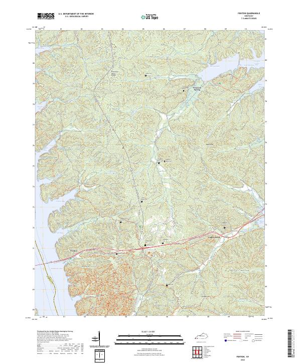
2022 Fenton
Trigg County, KY
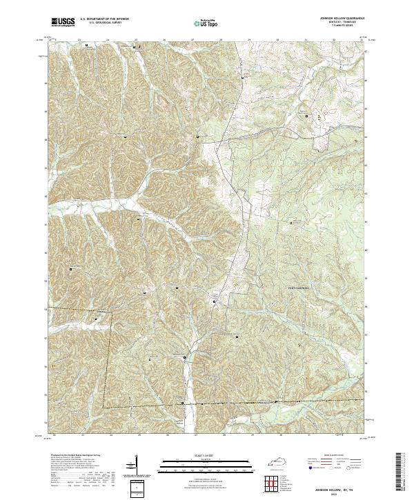
2022 Johnson Hollow
Trigg County, KY

2022 Lamasco
Trigg County, KY
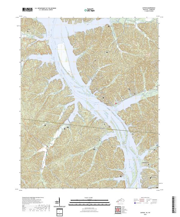
2022 Linton
Trigg County, KY
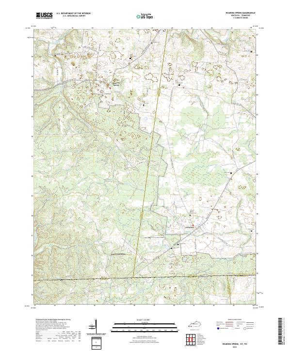
2022 Roaring Spring
Trigg County, KY