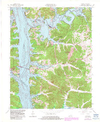
1967 Map of Canton
USGS Topo · Published 1983About this map
Canton serves as a focal point along the eastern shore of Lake Barkley, a massive reservoir created by the damming of the Cumberland River. This 1967 survey, with photorevisions from 1982, documents a landscape shaped by both water management and recreational development. The central portion of the map is dominated by the Lake Barkley State Resort Park, featuring the Lake Barkley State Park Airport and numerous bays like Blue Spring Creek and Hopson Creek.
Find a feature on this map
44 named features on this map. Tap any name to fly to it.
Don’t see what you’re looking for? This feature index may not catch every label — zoom into the map to look around manually.
Map Details
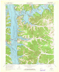
Editions of this 1967 Canton Map
2 editions found
Other maps of this area

1936 · Mont
USGS Topo · 1:24,000

1936 · Fenton
USGS Topo · 1:24,000

1936 · Golden Pond
USGS Topo · 1:48,000

1936 · Rushing
USGS Topo · 1:24,000

1950 · Rushing Creek
USGS Topo · 1:24,000
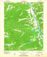
1950 · Mont
USGS Topo · 1:24,000
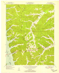
1950 · Fenton
USGS Topo · 1:24,000

1951 · Model
USGS Topo · 1:24,000

1951 · Johnson Hollow
USGS Topo · 1:24,000

1953 · Canton
USGS Topo · 1:24,000