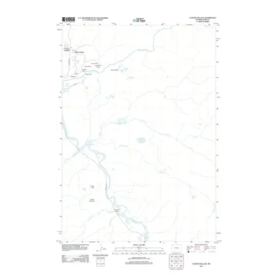
2012 Map of Canyon Village
USGS Topo · Published 2012About this map
Canyon Village serves as the primary hub for travelers in this high-altitude landscape where the Yellowstone River carves its most dramatic path. This 2012 survey illustrates the concentration of visitor infrastructure around Canyon Junction, linked by the winding Grand Loop Rd. The map details the profound thermal and geologic activity of the region, from the Lower Falls of the Yellowstone River and Upper Falls of the Yellowstone River to the bubbling features of Sulphur Caldron and Dragons Mouth Spring.
Find a feature on this map
36 named features on this map. Tap any name to fly to it.
Don’t see what you’re looking for? This feature index may not catch every label — zoom into the map to look around manually.
Map Details
Editions of this 2012 Canyon Village Map
This is the sole edition of this map. No revisions or reprints were ever made.
Other maps of this area

1885 · Gallatin
USGS Topo · 1:125,000

1885 · Gallatin
USGS Topo · 1:125,000

1886 · Canyon
USGS Topo · 1:125,000

1895 · Canyon
USGS Topo · 1:125,000

1896 · Canyon
USGS Topo · 1:125,000

1901 · Canyon
USGS Topo · 1:125,000

1901 · Gallatin
USGS Topo · 1:125,000

1907 · Canyon
USGS Topo · 1:125,000

1908 · Gallatin
USGS Topo · 1:125,000

1911 · Gallatin
USGS Topo · 1:125,000