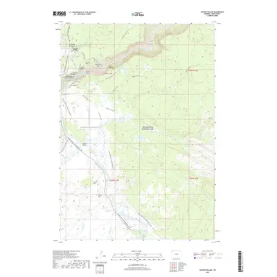
2017 Map of Canyon Village
USGS Topo · Published 2017About this map
The Grand Canyon of the Yellowstone forms the dramatic center of this 2017 survey, where the Yellowstone River carves through the volcanic landscape of Yellowstone National Park. Near the canyon's edge, Canyon Village and Canyon Junction serve as primary visitor hubs, connected by the Grand Loop Road. Remarkable geological features are mapped in detail, from the sheer heights of Inspiration Point and Artist Point to the thermal activity found at Mud Pots, Sulphur Caldron, and Dragons Mouth Spring. Further south, the terrain opens into the broad Hayden Valley, a critical habitat where Alum Cr and Trout Cr meander toward the river. Historical footpaths like the Howard Eaton Trail and the Mary Mountain-Nez Perce Trail trace the movements of early explorers and Indigenous people across this protected wilderness.
Find a feature on this map
85 named features on this map. Tap any name to fly to it.
Don’t see what you’re looking for? This feature index may not catch every label — zoom into the map to look around manually.
Map Details
Editions of this 2017 Canyon Village Map
This is the sole edition of this map. No revisions or reprints were ever made.
Other maps of this area

1885 · Gallatin
USGS Topo · 1:125,000

1885 · Gallatin
USGS Topo · 1:125,000

1886 · Canyon
USGS Topo · 1:125,000

1895 · Canyon
USGS Topo · 1:125,000

1896 · Canyon
USGS Topo · 1:125,000

1901 · Canyon
USGS Topo · 1:125,000

1901 · Gallatin
USGS Topo · 1:125,000

1907 · Canyon
USGS Topo · 1:125,000

1908 · Gallatin
USGS Topo · 1:125,000

1911 · Gallatin
USGS Topo · 1:125,000