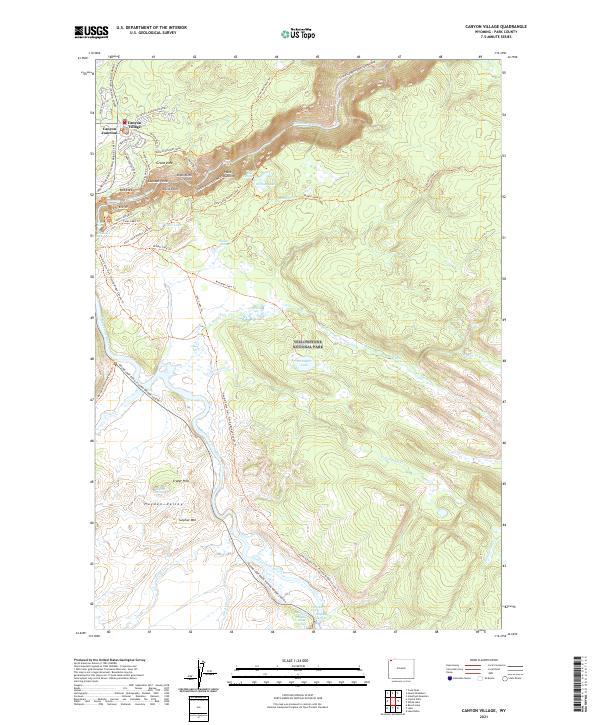
2021 Map of Canyon Village
USGS Topo · Published 2021About this map
Canyon Village serves as the primary hub of activity in this high-altitude landscape where the Yellowstone River carves the dramatic Grand Canyon of the Yellowstone. The map documents a sophisticated network of overlooks and trails, including Inspiration Point, Lookout Point, and Artist Point, which offer views of features like the Silver Cord Cascade. This area is defined by its thermal activity and hydrothermal features, concentrated around Crater Hills and the hydrothermal outlets near the river.
Find a feature on this map
55 named features on this map. Tap any name to fly to it.
Don’t see what you’re looking for? This feature index may not catch every label — zoom into the map to look around manually.
Map Details
Editions of this 2021 Canyon Village Map
This is the sole edition of this map. No revisions or reprints were ever made.
Other maps of this area

1885 · Gallatin
USGS Topo · 1:125,000

1885 · Gallatin
USGS Topo · 1:125,000

1886 · Canyon
USGS Topo · 1:125,000

1895 · Canyon
USGS Topo · 1:125,000

1896 · Canyon
USGS Topo · 1:125,000

1901 · Canyon
USGS Topo · 1:125,000

1901 · Gallatin
USGS Topo · 1:125,000

1907 · Canyon
USGS Topo · 1:125,000

1908 · Gallatin
USGS Topo · 1:125,000

1911 · Gallatin
USGS Topo · 1:125,000