Loading...
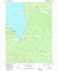
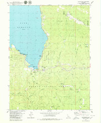
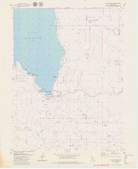
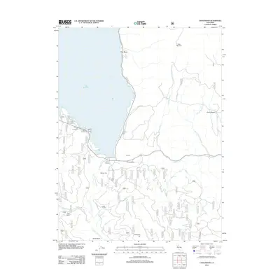
Loading map...1979 Map of Canyondam
USGS Topo · Published 1979About this map
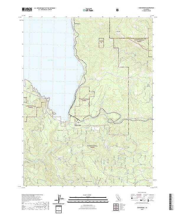
Canyondam and the southern shores of Lake Almanor anchor this landscape, where the waters meet the industrial legacy of the Northern Sierra. The map illustrates a transitional zone where recreation and extraction coexist, featuring campgrounds like Rocky Point Campground alongside numerous historical mining operations. The Western Pacific railroad tracks follow the shoreline and cut through the rugged interior, supporting the area's timber and mineral economy.
Find a feature on this map
57 named features on this map. Tap any name to fly to it.
Don’t see what you’re looking for? This feature index may not catch every label — zoom into the map to look around manually.
Map Details
Date Portrayed1979
Date Published1979
PublisherU.S. Geological Survey
Map TypeTopographic
Scale1:24,000
Physical Dimensions21.9 x 26.6 inches
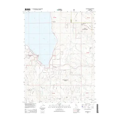
Editions of this 1979 Canyondam Map
3 editions found
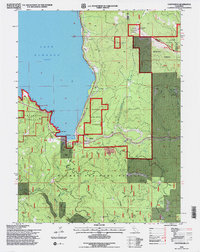
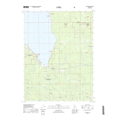
Historical Maps of Canyon Dam Through Time
6 maps found
Featured Locations
Source Details
SourceU.S. Geological Survey
CopyrightPublic Domain