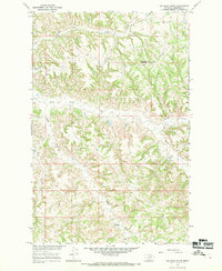
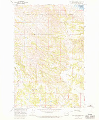
1965 Map of Cap Rock Butte
USGS Topo · Published 1969About this map
Cap Rock Butte and the surrounding Garfield County landscape were surveyed in the mid-1960s as part of a Department of the Interior program focused on the development of the Missouri River Basin. This section of Montana is defined by its intricate drainage patterns, with Hay Coulee cutting through the northern reaches while Squaw Creek and its tributary, South Fork Squaw Creek, dominate the central drainage.
Find a feature on this map
9 named features on this map. Tap any name to fly to it.
Don’t see what you’re looking for? This feature index may not catch every label — zoom into the map to look around manually.
Map Details
Editions of this 1965 Cap Rock Butte Map
This is the sole edition of this map. No revisions or reprints were ever made.
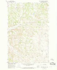
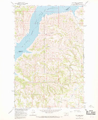
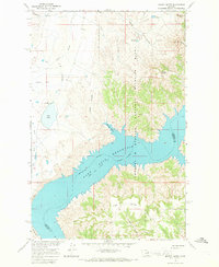
Other maps of this area

1954 · Jordan
USGS Topo · 1:250,000

1956 · Jordan
USGS Topo · 1:250,000

1958 · Jordan
USGS Topo · 1:250,000

1964 · Jordan
USGS Topo · 1:250,000
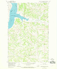
1965 · Germaine Coulee East
USGS Topo · 1:24,000
1965 · Spring Creek School
USGS Topo · 1:24,000
1965 · Lost Creek
USGS Topo · 1:24,000
1965 · Pine Grove School
USGS Topo · 1:24,000
1965 · Mickey Butte
USGS Topo · 1:24,000
1967 · Hay Coulee
USGS Topo · 1:24,000