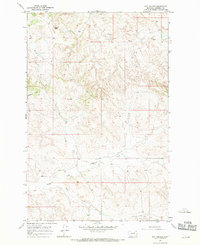
1967 Map of Hay Coulee
USGS Topo · Published 1970About this map
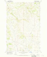
Square Butte rises above a highly dissected Montana landscape where cattle ranching and remote outposts define the character of the terrain. The 1967 survey by the U.S. Geological Survey captures a sparsely populated region of Garfield County, centered on the complex drainage systems of Lodgepole Creek and Union Creek. Settlement patterns are minimal, represented by the isolated Dilo Sch and a scattered Lodge, reflecting the vast distances typical of this Missouri River country before significant modern development. The mapping detail emphasizes the intricate network of coulees and seasonal watercourses, including Cottonwood Coulee and Hay Coulee, which provide the essential structure for navigation and land use in this arid stretch of the High Plains.
Find a feature on this map
11 named features on this map. Tap any name to fly to it.
Don’t see what you’re looking for? This feature index may not catch every label — zoom into the map to look around manually.
Map Details
Editions of this 1967 Hay Coulee Map
This is the sole edition of this map. No revisions or reprints were ever made.
Other maps of this area

1954 · Jordan
USGS Topo · 1:250,000

1956 · Jordan
USGS Topo · 1:250,000

1958 · Jordan
USGS Topo · 1:250,000

1964 · Jordan
USGS Topo · 1:250,000

1965 · Spring Creek School
USGS Topo · 1:24,000

1965 · Cap Rock Butte
USGS Topo · 1:24,000
1965 · Twin Buttes
USGS Topo · 1:24,000
1967 · Coffin Butte
USGS Topo · 1:24,000
1967 · Searl Coulee
USGS Topo · 1:24,000
1967 · Benzien
USGS Topo · 1:24,000