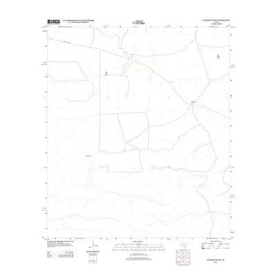
2012 Map of Cap Rock Butte
USGS Topo · Published 2012About this map
Skevington Ranch serves as a primary human landmark in this section of Pecos County, where the high desert landscape is defined by drainage patterns and isolated water sources. The terrain is dominated by the prominent Cap Rock Butte in the northeast, while the rest of the quadrangle is etched by seasonal watercourses like Red Mill Draw. These ephemeral streams and the presence of the Red Windmill highlight the essential nature of water management for ranching in this arid environment. Transportation through this part of the Trans-Pecos is facilitated by Longfellow Rd, which cuts across the northern reaches of the map, providing a vital link through the sparse open country that has sustained livestock operations for generations.
Find a feature on this map
5 named features on this map. Tap any name to fly to it.
Don’t see what you’re looking for? This feature index may not catch every label — zoom into the map to look around manually.
Map Details
Editions of this 2012 Cap Rock Butte Map
This is the sole edition of this map. No revisions or reprints were ever made.
Other maps of this area

1920 · Longfellow
USGS Topo · 1:125,000

1954 · Fort Stockton
USGS Topo · 1:250,000

1958 · Fort Stockton
USGS Topo · 1:250,000

1968 · Housetop Mountains
USGS Topo · 1:24,000

1968 · Cap Rock Butte
USGS Topo · 1:24,000

1968 · F C Ranch
USGS Topo · 1:24,000

1968 · Marathon Gap
USGS Topo · 1:24,000

1968 · Longfellow
USGS Topo · 1:24,000

1968 · Ebers Camp
USGS Topo · 1:24,000

1968 · Dimple Hills
USGS Topo · 1:24,000