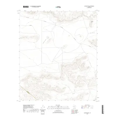
2019 Map of Cap Rock Butte
USGS Topo · Published 2019About this map
Cap Rock Butte rises above the transition between the Edwards Plateau and the Trans-Pecos, marking a significant elevation point in this arid West Texas landscape. The 2019 survey documents a region defined by complex drainage systems and wide high-elevation basins, most notably the W B Flats in the northwest. Water movement across this terrain is primarily captured by ephemeral watercourses such as Red Mill Draw and Downie Draw, which snake through the limestone topography. This specific area spans the boundary of Pecos County and Brewster County, where human infrastructure is largely limited to the winding path of Longfellow Rd. The map illustrates the stark geography of Big Canyon and surrounding ridges, providing a clear record of the ranching and transit corridors used in modern-day Pecos County.
Find a feature on this map
7 named features on this map. Tap any name to fly to it.
Don’t see what you’re looking for? This feature index may not catch every label — zoom into the map to look around manually.
Map Details
Editions of this 2019 Cap Rock Butte Map
This is the sole edition of this map. No revisions or reprints were ever made.
Other maps of this area

1920 · Longfellow
USGS Topo · 1:125,000

1954 · Fort Stockton
USGS Topo · 1:250,000

1958 · Fort Stockton
USGS Topo · 1:250,000

1968 · Housetop Mountains
USGS Topo · 1:24,000

1968 · Cap Rock Butte
USGS Topo · 1:24,000

1968 · F C Ranch
USGS Topo · 1:24,000

1968 · Marathon Gap
USGS Topo · 1:24,000

1968 · Longfellow
USGS Topo · 1:24,000

1968 · Ebers Camp
USGS Topo · 1:24,000

1968 · Dimple Hills
USGS Topo · 1:24,000