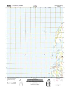
1977 Map of Cape Charles
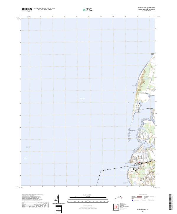
USGS Topo · Published 1982About this map
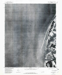
Cape Charles serves as the focal point of this orthophotoquad, which uses aerial photography from 1977 to document the Eastern Shore of Virginia. The image reveals the intricate layout of the town's grid and its relationship to the harbor along the Chesapeake Bay. North of the town, the landscape is defined by the tidal waters of Cherrystone Inlet and the marshy edges of Cherrystone.
Find a feature on this map
4 named features on this map. Tap any name to fly to it.
Don’t see what you’re looking for? This feature index may not catch every label — zoom into the map to look around manually.
Map Details
Editions of this 1977 Cape Charles Map
This is the sole edition of this map. No revisions or reprints were ever made.
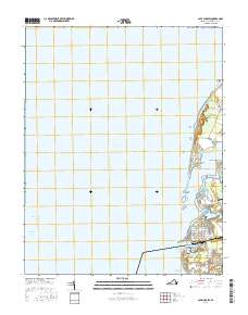
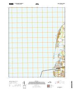
Historical Maps of Cape Charles Through Time
8 maps found
1955 Cape Charles
Northampton County, VA
1968 Cape Charles
Northampton County, VA
1977 Cape Charles
Northampton County, VA
2011 Cape Charles
Northampton County, VA
2013 Cape Charles
Northampton County, VA
2016 Cape Charles
Northampton County, VA
2019 Cape Charles
Northampton County, VA
2022 Cape Charles
Northampton County, VA