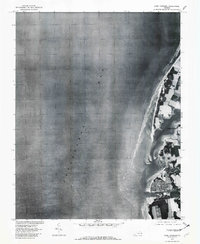
1977 Map of Cape Charles
USGS Topo · Published 1982About this map
Cape Charles serves as the focal point of this orthophotoquad, which uses aerial photography from 1977 to document the Eastern Shore of Virginia. The image reveals the intricate layout of the town's grid and its relationship to the harbor along the Chesapeake Bay. North of the town, the landscape is defined by the tidal waters of Cherrystone Inlet and the marshy edges of Cherrystone.
Find a feature on this map
4 named features on this map. Tap any name to fly to it.
Don’t see what you’re looking for? This feature index may not catch every label — zoom into the map to look around manually.
Map Details
Editions of this 1977 Cape Charles Map
This is the sole edition of this map. No revisions or reprints were ever made.
Other maps of this area

1942 · Cheriton
USGS Topo · 1:24,000

1943 · Elliots Creek
USGS Topo · 1:25,000

1943 · Townsend
USGS Topo · 1:24,000

1943 · Franktown
USGS Topo · 1:31,680

1943 · Richmond
USGS Topo · 1:250,000

1946 · Eastville
USGS Topo · 1:250,000

1948 · Cape Charles
USGS Topo · 1:24,000

1949 · Richmond
USGS Topo · 1:250,000
1955 · Elliotts Creek
USGS Topo · 1:24,000
1955 · Cape Charles
USGS Topo · 1:24,000