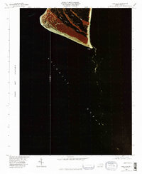
1980 Map of Cape Fear
USGS Topo · Published 1985About this map
Cape Fear marks the dramatic southernmost tip of this coastal survey, where the terrestrial landscape of Bald Head Smith Island meets the expanse of the Atlantic Ocean. This color infrared orthophotograph, captured in the fall of 1980, reveals the intricate tidal anatomy of the barrier island system. The deep reds of the maritime vegetation contrast sharply with the dark, winding veins of Cape Creek as it meanders through the marshland. This unique perspective provides a clear look at the dynamic shoreline and sediment patterns at the mouth of the Cape Fear River before further modern development, showing the shifting shoals and natural drainage channels that have historically challenged navigators along the North Carolina coast.
Find a feature on this map
5 named features on this map. Tap any name to fly to it.
Don’t see what you’re looking for? This feature index may not catch every label — zoom into the map to look around manually.
Map Details
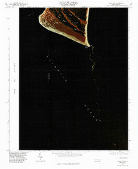
Editions of this 1980 Cape Fear Map
2 editions found
Other maps of this area

1942 · Cape Fear
USGS Topo · 1:24,000

1946 · Southport
USGS Topo · 1:24,000

1946 · Snow Marsh
USGS Topo · 1:24,000

1949 · Georgetown
USGS Topo · 1:250,000

1967 · Georgetown
USGS Topo · 1:250,000
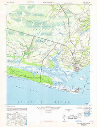
1969 · Southport
USGS Topo · 1:24,000
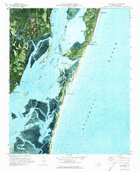
1970 · Kure Beach
USGS Topo · 1:24,000
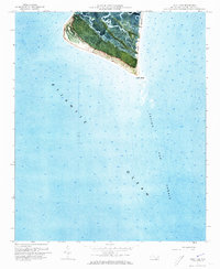
1970 · Cape Fear
USGS Topo · 1:24,000

1974 · Georgetown
USGS Topo · 1:250,000
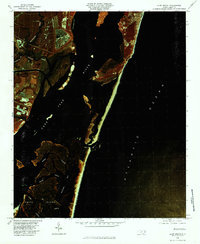
1980 · Kure Beach
USGS Topo · 1:24,000