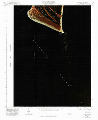
1980 Map of Cape Fear
USGS Topo · Published 1985About this map
Cape Fear stands at the southernmost tip of Smith Island in this 1980 color infrared orthophotoquad. The imagery reveals the complex relationship between the land and the Atlantic Ocean, where shifting shoals and coastal drainage patterns are clearly visible. The prominent rise of Bald Head and the winding course of Cape Creek demonstrate the island's natural coastal geography before late-century development. This specialized infrared photography, prepared by the State of North Carolina and federal agencies, highlights the vegetation and marsh structures that define this fragile maritime environment.
Find a feature on this map
7 named features on this map. Tap any name to fly to it.
Don’t see what you’re looking for? This feature index may not catch every label — zoom into the map to look around manually.
Map Details
Editions of this 1980 Cape Fear Map
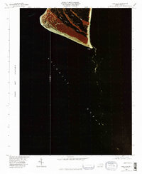
2 editions found
Other maps of this area

1942 · Cape Fear
USGS Topo · 1:24,000

1946 · Southport
USGS Topo · 1:24,000

1946 · Snow Marsh
USGS Topo · 1:24,000

1949 · Georgetown
USGS Topo · 1:250,000

1967 · Georgetown
USGS Topo · 1:250,000
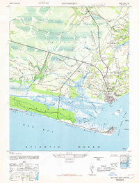
1969 · Southport
USGS Topo · 1:24,000
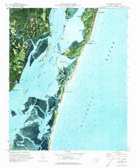
1970 · Kure Beach
USGS Topo · 1:24,000
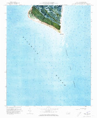
1970 · Cape Fear
USGS Topo · 1:24,000

1974 · Georgetown
USGS Topo · 1:250,000
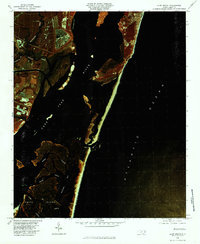
1980 · Kure Beach
USGS Topo · 1:24,000