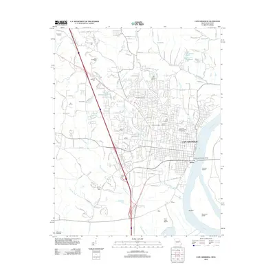
2012 Map of Cape Girardeau
USGS Topo · Published 2012About this map
The Mississippi River shapes the eastern edge of this Missouri river city, where the Bill Emerson Memorial Bridge connects the urban center to Illinois. In the early 21st century, Cape Girardeau shows its depth of history through numerous burial grounds, including the centrally located Lorimier Cemetery and Saint Marys Cemetery, as well as the more peripheral McKendree Cemetery and Old Hanover Cemetery. The campus of Southeast Missouri State University serves as a prominent landmark within the city grid, while the southern reaches transition into the industrial and agricultural landscape of the Southeast Lowlands. Below the city, the river bends around Giboney Island and Marquette Island near Black Land Bottom, highlighting the complex hydrology that influenced the development of Decatur and the rail-linked Gulf Junction. Several creeks and branches, such as Cape La Croix Creek and Ramsey Branch, weave through the residential hills and valleys.
Find a feature on this map
41 named features on this map. Tap any name to fly to it.
Don’t see what you’re looking for? This feature index may not catch every label — zoom into the map to look around manually.
Map Details
Editions of this 2012 Cape Girardeau Map
This is the sole edition of this map. No revisions or reprints were ever made.
Other maps of this area

1920 · Jonesboro
USGS Topo · 1:62,500

1922 · Cape Girardeau
USGS Topo · 1:62,500

1923 · Jonesboro
USGS Topo · 1:62,500

1924 · Cape Girardeau
USGS Topo · 1:62,500

1934 · Thebes
USGS Topo · 1:62,500

1934 · Morley
USGS Topo · 1:62,500

1939 · Morley
USGS Topo · 1:62,500

1939 · Thebes
USGS Topo · 1:62,500

1947 · Jonesboro
USGS Topo · 1:62,500

1947 · Mc Clure
USGS Topo · 1:24,000