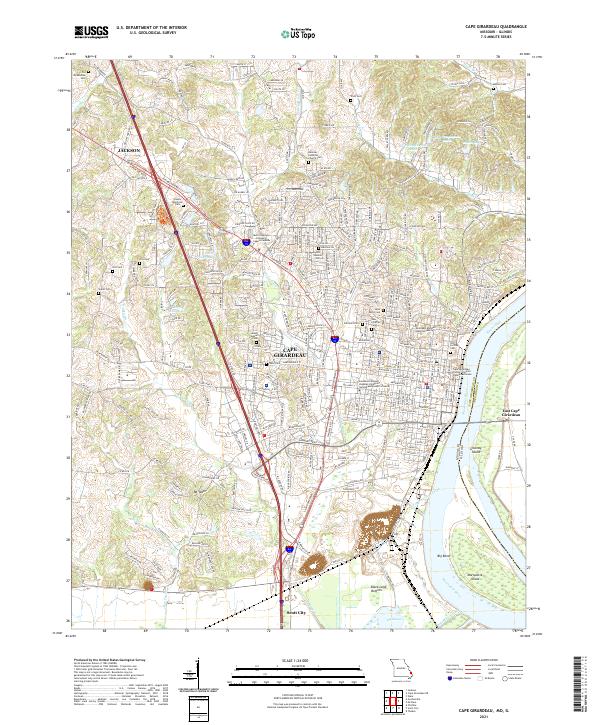
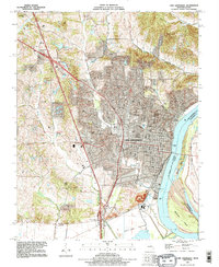
2021 Map of Cape Girardeau
USGS Topo · Published 2021About this map
Cape Girardeau serves as the focal point of this riverfront survey, where the Mississippi River forms the eastern boundary between Missouri and Illinois. The city’s historical layout is anchored by the Cape Girardeau County Common Pleas Courthouse and the sprawling campus of Southeast Missouri State University. Genealogists will find a high density of burial grounds, ranging from the central Old Lorimier Cem and New Lorimier Cem to the outlying Old McKendree Cem and Hanover Lutheran Church Cem. To the north, the city of Jackson appears, while Scott City anchors the southern edge of the sheet.
Find a feature on this map
147 named features on this map. Tap any name to fly to it.
Don’t see what you’re looking for? This feature index may not catch every label — zoom into the map to look around manually.
Map Details
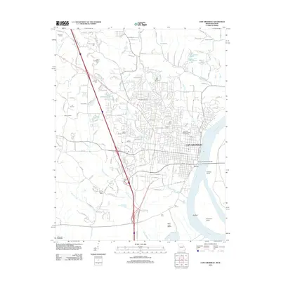
Editions of this 2021 Cape Girardeau Map
This is the sole edition of this map. No revisions or reprints were ever made.
Historical Maps of Cape Girardeau Through Time
10 maps found
1922 Cape Girardeau
Cape Girardeau County, MO
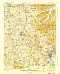
1924 Cape Girardeau
Cape Girardeau County, MO
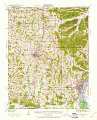
1967 Cape Girardeau
Cape Girardeau County, MO

1984 Cape Girardeau
Cape Girardeau County, MO

1986 Cape Girardeau
Cape Girardeau County, MO
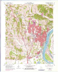
1993 Cape Girardeau
Cape Girardeau County, MO
2012 Cape Girardeau
Cape Girardeau County, MO
2015 Cape Girardeau
Cape Girardeau County, MO
2017 Cape Girardeau
Cape Girardeau County, MO
2021 Cape Girardeau
Cape Girardeau County, MO