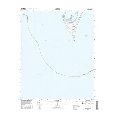
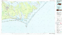
2016 Map of Cape Lookout
USGS Topo · Published 2016About this map
Cape Lookout National Seashore dominates this coastal survey, capturing the dramatic southern terminal of the Core Banks. The landscape is defined by the sharp hook of the shoreline, where the Outer Banks turn inward toward Lookout Bight. This 2016 data illustrates the intricate geomorphology of the barrier islands, featuring prominent landmarks such as Power Squadron Spit and the pointed extremity of Cape Point.
Find a feature on this map
13 named features on this map. Tap any name to fly to it.
Don’t see what you’re looking for? This feature index may not catch every label — zoom into the map to look around manually.
Map Details
Editions of this 2016 Cape Lookout Map
This is the sole edition of this map. No revisions or reprints were ever made.
Other maps of this area

1949 · Beaufort
USGS Topo · 1:24,000

1949 · Harkers Island
USGS Topo · 1:24,000

1950 · Horsepen Point
USGS Topo · 1:24,000
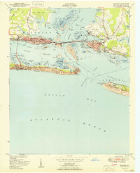
1951 · Beaufort
USGS Topo · 1:24,000
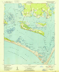
1951 · Harkers Island
USGS Topo · 1:24,000
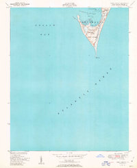
1951 · Cape Lookout
USGS Topo · 1:24,000

1953 · Beaufort
USGS Topo · 1:250,000

1954 · Beaufort
USGS Topo · 1:250,000

1972 · Beaufort
USGS Topo · 1:250,000
1985 · Morehead City
USGS Topo · 1:100,000