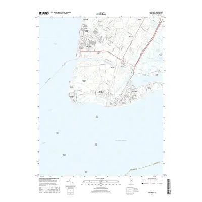
2016 Map of Cape May
USGS Topo · Published 2016About this map
Cape May and its surrounding communities occupy the southernmost tip of New Jersey, where the Delaware Bay meets the Atlantic Ocean. This survey details a densely settled coastal landscape defined by its maritime connections, from the Lewes - Cape May Ferry terminal to the protected waters of Cape May Harbor. Further inland, the residential grids of Villas, North Cape May, and West Cape May are separated by significant natural features like Pond Creek and Higbee Beach.
Find a feature on this map
138 named features on this map. Tap any name to fly to it.
Don’t see what you’re looking for? This feature index may not catch every label — zoom into the map to look around manually.
Map Details
Editions of this 2016 Cape May Map
This is the sole edition of this map. No revisions or reprints were ever made.
Other maps of this area

1888 · Cape May
USGS Topo · 1:62,500

1888 · Dennisville
USGS Topo · 1:62,500

1890 · Maurice Cove
USGS Topo · 1:62,500

1891 · Maurice Cove
USGS Topo · 1:62,500

1893 · Cape May
USGS Topo · 1:62,500

1894 · Dennisville
USGS Topo · 1:62,500

1898 · Cape May
USGS Topo · 1:62,500

1899 · Vineland
USGS Topo · 1:125,000

1918 · Cape Henlopen
USGS Topo · 1:62,500

1918 · Cape May
USGS Topo · 1:62,500