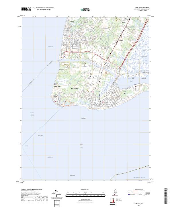
2023 Map of Cape May
USGS Topo · Published 2023About this map
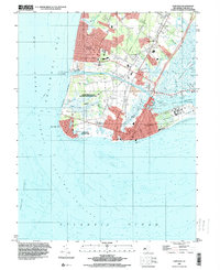
Cape May Point stands at the southernmost tip of New Jersey, where the Delaware Bay meets the Atlantic Ocean. This modern coastal landscape is defined by the heavy engineering of the Cape May Canal and the Intracoastal Waterway, which separate the peninsula from the mainland. The map reveals a dense network of beach communities and historic inland settlements like Cold Spring, home to the Cold Spring Presbyterian Cem. The shoreline is a mix of protected natural areas such as Higbee Beach and established maritime infrastructure, including the Lewes - Cape May Ferry terminal.
Find a feature on this map
163 named features on this map. Tap any name to fly to it.
Don’t see what you’re looking for? This feature index may not catch every label — zoom into the map to look around manually.
Map Details
Editions of this 2023 Cape May Map
This is the sole edition of this map. No revisions or reprints were ever made.
Historical Maps of Tabernacle Through Time
12 maps found

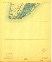
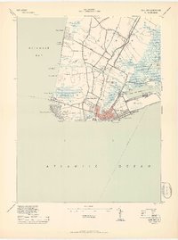
1888 Cape May
Cape May County, NJ
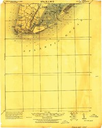
1893 Cape May
Cape May County, NJ

1898 Cape May
Cape May County, NJ

1918 Cape May
Cape May County, NJ
1925 Cape May
Cape May County, NJ

1940 Cape May
Cape May County, NJ
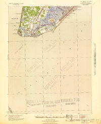
1941 Cape May
Cape May County, NJ
1944 Cape May
Cape May County, NJ
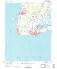
1954 Cape May
Cape May County, NJ
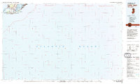
1981 Cape May
Cape May County, NJ
1995 Cape May
Cape May County, NJ
2023 Cape May
Cape May County, NJ