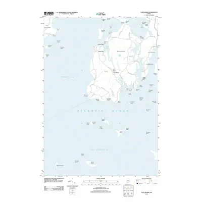
2011 Map of Cape Rosier
USGS Topo · Published 2011About this map
Pripet and Harborside anchor the coastal settlement patterns of this Penobscot Bay shoreline, where the land is defined by deep coves and prominent elevations like Backwood Mountain. The infrastructure of the era is evident at Goose Pond Dam and the tidal transition at Goose Falls, reflecting a landscape tied closely to both freshwater resources and the Atlantic Ocean. Local history is preserved at the Indian Bar Cemetery and Evergreen Cemetery, while family-named landmarks such as John B Mountain and Condon Point indicate long-standing ties to the coastal Maine terrain.
Find a feature on this map
81 named features on this map. Tap any name to fly to it.
Don’t see what you’re looking for? This feature index may not catch every label — zoom into the map to look around manually.
Map Details
Editions of this 2011 Cape Rosier Map
This is the sole edition of this map. No revisions or reprints were ever made.
Other maps of this area

1902 · Castine
USGS Topo · 1:62,500
1904 · Deer Isle
USGS Topo · 1:62,500

1904 · Castine
USGS Topo · 1:62,500
1904 · Bluehill
USGS Topo · 1:62,500
1904 · Vinalhaven
USGS Topo · 1:62,500

1905 · Penobscot Bay
USGS Topo · 1:125,000
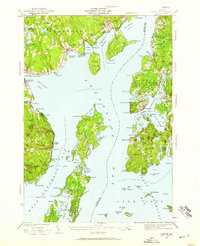
1941 · Castine
USGS Topo · 1:62,500
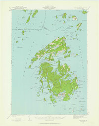
1941 · Vinalhaven
USGS Topo · 1:62,500
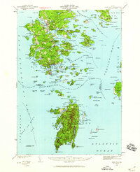
1942 · Deer Isle
USGS Topo · 1:62,500
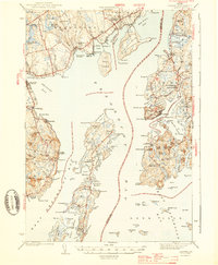
1943 · Castine
USGS Topo · 1:62,500