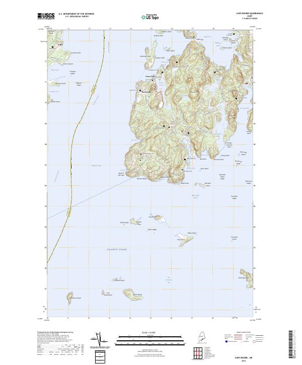
2024 Map of Cape Rosier
USGS Topo · Published 2024About this map
The Waldo Co and Hancock Co line divides this coastal Maine landscape, where the Penobscot River meets the Atlantic Ocean. The peninsula is densely marked by genealogical sites, particularly family burial grounds like the John Bakeman Family Cem, Valerius Black Cem, and the Jesse Gray Cem. These small plots are concentrated near settlements such as Harborside and Head of the Cape, reflecting a long history of generational land ownership.
Find a feature on this map
115 named features on this map. Tap any name to fly to it.
Don’t see what you’re looking for? This feature index may not catch every label — zoom into the map to look around manually.
Map Details
Editions of this 2024 Cape Rosier Map
This is the sole edition of this map. No revisions or reprints were ever made.
Other maps of this area

1902 · Castine
USGS Topo · 1:62,500

1904 · Deer Isle
USGS Topo · 1:62,500

1904 · Castine
USGS Topo · 1:62,500

1904 · Bluehill
USGS Topo · 1:62,500

1904 · Vinalhaven
USGS Topo · 1:62,500

1905 · Penobscot Bay
USGS Topo · 1:125,000

1941 · Castine
USGS Topo · 1:62,500

1941 · Vinalhaven
USGS Topo · 1:62,500

1942 · Deer Isle
USGS Topo · 1:62,500
1943 · Castine
USGS Topo · 1:62,500