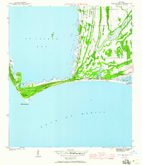
1943 Map of Cape San Blas
USGS Topo · Published 1960About this map
Cape San Blas Lighthouse stands as the primary landmark on this 1943 survey, marking the sharp bend where St Josephs Spit meets the open Gulf of Mexico. Surveyed during the war years by the Corps of Engineers, the map captures a coastal landscape of shiftng sand and dunes, where maritime infrastructure like the C G Sta and Lighthouse Bay supported navigation around the treacherous cape.
Find a feature on this map
23 named features on this map. Tap any name to fly to it.
Don’t see what you’re looking for? This feature index may not catch every label — zoom into the map to look around manually.
Map Details
Editions of this 1943 Cape San Blas Map
5 editions found
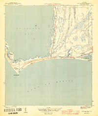
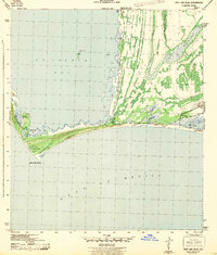
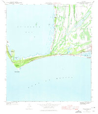
Other maps of this area

1943 · St Joseph Spit
USGS Topo · 1:31,680

1943 · Port St. Joe
USGS Topo · 1:31,680

1943 · Cape San Blas
USGS Topo · 1:31,680

1943 · Indian Pass
USGS Topo · 1:24,000

1945 · Lake Wimico
USGS Topo · 1:31,680

1945 · Indian Pass
USGS Topo · 1:31,680

1945 · St Joseph Point
USGS Topo · 1:31,680

1949 · Apalachicola
USGS Topo · 1:250,000

1957 · Apalachicola
USGS Topo · 1:250,000

1959 · Apalachicola
USGS Topo · 1:250,000