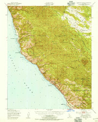
1948 Map of Cape San Martin
USGS Topo · Published 1955About this map
Hunter Liggett Military Reservation dominates the interior of this coastal terrain, illustrating the significant military footprint along the California coast in the post-war era. The landscape transitions from the shoreline of the Pacific Ocean to the high ridges of the Los Padres National Forest, where features like Chalk Peak and San Martin Top overlook the winding Cabrillo Highway.
Find a feature on this map
67 named features on this map. Tap any name to fly to it.
Don’t see what you’re looking for? This feature index may not catch every label — zoom into the map to look around manually.
Map Details
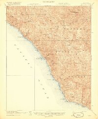
Editions of this 1948 Cape San Martin Map
2 editions found

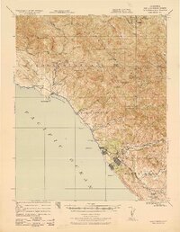
Other maps of this area

1919 · King City
USGS Topo · 1:62,500

1919 · Junipero Serra
USGS Topo · 1:62,500

1919 · Bryson
USGS Topo · 1:62,500

1919 · Piedras Blancas
USGS Topo · 1:62,500

1919 · San Simeon
USGS Topo · 1:62,500

1921 · Cape San Martin
USGS Topo · 1:62,500
1921 · Lucia
USGS Topo · 1:62,500
1927 · Piedras Blancas
USGS Topo · 1:62,500
1937 · San Simeon
USGS Topo · 1:62,500

1939 · King City
USGS Topo · 1:62,500