
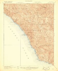
1948 Map of Cape San Martin
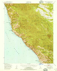
USGS Topo · Published 1965About this map
The Santa Lucia Range dominates this coastline, where the land drops precipitously into the Pacific. In the late 1940s, this remote stretch of the Big Sur coast was defined by scattered outposts like Pacific Valley and Gorda, connected by a winding road along the cliffs. The presence of the Pacific Valley Sch and Spring School indicates the small, self-sufficient communities that persisted in these isolated canyons.
Find a feature on this map
65 named features on this map. Tap any name to fly to it.
Don’t see what you’re looking for? This feature index may not catch every label — zoom into the map to look around manually.
Map Details
Editions of this 1948 Cape San Martin Map
2 editions found
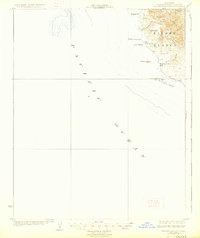
Other maps of this area

1919 · King City
USGS Topo · 1:62,500

1919 · Junipero Serra
USGS Topo · 1:62,500

1919 · Bryson
USGS Topo · 1:62,500

1919 · Piedras Blancas
USGS Topo · 1:62,500

1919 · San Simeon
USGS Topo · 1:62,500

1921 · Cape San Martin
USGS Topo · 1:62,500
1921 · Lucia
USGS Topo · 1:62,500
1927 · Piedras Blancas
USGS Topo · 1:62,500
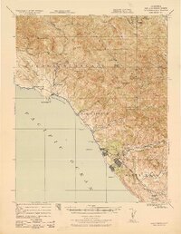
1937 · San Simeon
USGS Topo · 1:62,500

1939 · King City
USGS Topo · 1:62,500