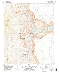
1988 Map of Cape Solitude
USGS Topo · Published 1988About this map
Colorado River and Little Colorado River converge here, carving deep through the high desert plateau. This 1988 revision of earlier field studies shows the complex meeting point of the Navajo Indian Reservation and Grand Canyon National Park. The landscape is defined by massive formations such as Cape Solitude, Temple Butte, and Chuar Butte, with the river descent marked by several major navigational hazards including Sixtymile Rapids, Carbon Rapids, and Lava Canyon Rapids. Along the eastern edge, the Palisades of the Desert form a sheer rim above the Colorado Gorge. The map captures the remote character of this canyon country, noting isolated points like Peshlakai Point and the presence of a lone Mine near the river's edge below Chuar Lava Hill.
Find a feature on this map
40 named features on this map. Tap any name to fly to it.
Don’t see what you’re looking for? This feature index may not catch every label — zoom into the map to look around manually.
Map Details
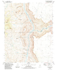
Editions of this 1988 Cape Solitude Map
2 editions found
Other maps of this area

1886 · Echo Cliffs
USGS Topo · 1:250,000

1891 · Echo Cliffs
USGS Topo · 1:250,000

1907 · Vishnu
USGS Topo · 1:48,000

1954 · Nankoweap
USGS Topo · 1:62,500

1954 · Shinumo Altar
USGS Topo · 1:62,500

1955 · Blue Spring
USGS Topo · 1:62,500

1956 · Marble Canyon
USGS Topo · 1:250,000

1959 · Marble Canyon
USGS Topo · 1:250,000

1961 · Marble Canyon
USGS Topo · 1:250,000
1962 · Vishnu Temple
USGS Topo · 1:62,500