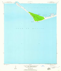
1945 Map of Cape St. George
USGS Topo · Published 1960About this map
Cape St George L H stands as a sentinel at the southwestern tip of the barrier island system in this mid-century maritime survey. The map records the fragile shoreline of St George Island and its relationship to the surrounding waters of Apalachicola Bay and the Gulf of Mexico. The landforms show a dynamic coastal environment where Sand Island and West Pass define the western entrance to the bay. Small indentations like Horseshoe Cove and Pilots Cove provide natural features along the sound side, while the Coast Guard Landing indicates the strategic and navigational importance of the cape during the post-war era. This study, based on 1943 data, documents the island's topography before significant modern development reached these outer banks.
Find a feature on this map
11 named features on this map. Tap any name to fly to it.
Don’t see what you’re looking for? This feature index may not catch every label — zoom into the map to look around manually.
Map Details
Editions of this 1945 Cape St. George Map
3 editions found
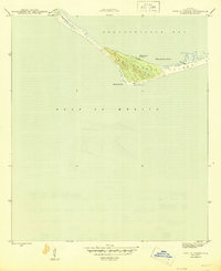
Other maps of this area

1943 · West Pass
USGS Topo · 1:31,680

1943 · Apalachicola
USGS Topo · 1:31,680

1943 · Indian Pass
USGS Topo · 1:24,000

1944 · Apalachicola
USGS Topo · 1:24,000

1945 · Cape St. George
USGS Topo · 1:31,680

1945 · Indian Pass
USGS Topo · 1:31,680

1949 · Apalachicola
USGS Topo · 1:250,000
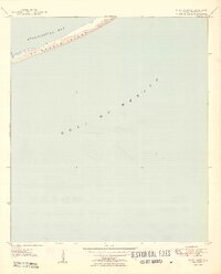
1950 · New Inlet
USGS Topo · 1:31,680

1957 · Apalachicola
USGS Topo · 1:250,000

1959 · Apalachicola
USGS Topo · 1:250,000