
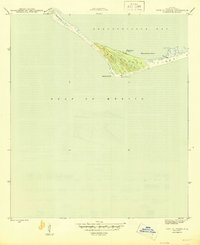
1945 Map of Cape St. George
USGS Topo · Published 1945About this map
Cape St George and the western tip of St George Island anchor this mid-century maritime survey, documenting a critical stretch of the Florida Panhandle coastline. At the height of the Second World War, the landscape is defined by its navigation aids and military-industrial presence, notably the Coast Guard Landing on the northern shore. The barrier island's complex topography of dunes and salt marshes separates the Gulf of Mexico from the sheltered waters of Apalachicola Bay.
Find a feature on this map
11 named features on this map. Tap any name to fly to it.
Don’t see what you’re looking for? This feature index may not catch every label — zoom into the map to look around manually.
Map Details
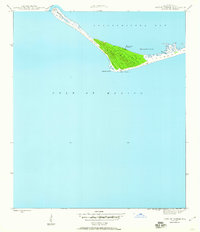
Editions of this 1945 Cape St. George Map
3 editions found
Other maps of this area

1943 · West Pass
USGS Topo · 1:31,680

1943 · Apalachicola
USGS Topo · 1:31,680

1943 · Indian Pass
USGS Topo · 1:24,000

1944 · Apalachicola
USGS Topo · 1:24,000

1945 · Indian Pass
USGS Topo · 1:31,680

1949 · Apalachicola
USGS Topo · 1:250,000
1950 · New Inlet
USGS Topo · 1:31,680

1957 · Apalachicola
USGS Topo · 1:250,000

1959 · Apalachicola
USGS Topo · 1:250,000
1960 · Apalachicola
USGS Topo · 1:250,000