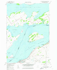
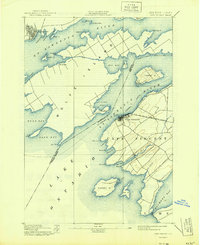
1958 Map of Cape Vincent North
USGS Topo · Published 1961About this map
Cape Vincent serves as a critical maritime hub along the St Lawrence River in the late 1950s, anchoring the international border between New York and Ontario. This maritime character is defined by the U. S. Coast Guard Station and a local Fish Hatchery, while the Cape Vincent Railroad terminates at the water's edge, signifying the historic rail-to-river transport network. Across the water, the large landmasses of Wolfe Island and Carleton Island dominate the river channel, separated by a complex system of bays such as Bayfield Bay and McGregor Bay. Genealogy and local history are preserved in several shoreline burial grounds, including Riverside Cem and St Vincent de Paul Cem. Further inland, family-named roads like Favret Road and Vincent Road bisect the agricultural landscape, leading toward Burnham Point State Park.
Find a feature on this map
56 named features on this map. Tap any name to fly to it.
Don’t see what you’re looking for? This feature index may not catch every label — zoom into the map to look around manually.
Map Details
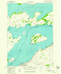
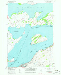
Editions of this 1958 Cape Vincent North Map
3 editions found
Other maps of this area

1895 · Cape Vincent
USGS Topo · 1:62,500

1900 · Clayton
USGS Topo · 1:62,500

1903 · Grindstone
USGS Topo · 1:62,500

1903 · Clayton
USGS Topo · 1:62,500

1942 · Cape Vincent North
USGS Topo · 1:31,680

1942 · Chaumont
USGS Topo · 1:31,680

1942 · Sawmill Bay
USGS Topo · 1:31,680

1942 · Cape Vincent South
USGS Topo · 1:31,680
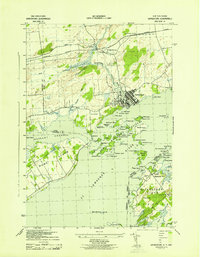
1943 · Grindstone
USGS Topo · 1:31,680
1944 · Cape Vincent
USGS Topo · 1:62,500