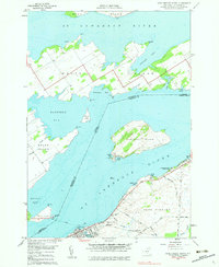
1958 Map of Cape Vincent North
USGS Topo · Published 1983About this map
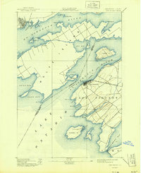
St Lawrence River mariners and river pilots have long navigated the intricate channels surrounding Carleton Island and Wolfe Island, where the international boundary between Ontario and New York weaves through the water. This 1958 survey captures the maritime infrastructure of the era, anchored by the U. S. Coast Guard Station and a Fish Hatchery at Cape Vincent. The map reveals a landscape defined by its relation to the water, from the organized recreation at Burnham Point State Park to the small family and church burial grounds like St Vincent de Paul Cem and Judd Cem. A network of rural roads such as Vincent Road and Hell Street connects the inland farms to the riverfront, while the prominent Ferry line crossing to Wolfe Island serves as a reminder of the vital cross-border transit that sustained these river communities.
Find a feature on this map
55 named features on this map. Tap any name to fly to it.
Don’t see what you’re looking for? This feature index may not catch every label — zoom into the map to look around manually.
Map Details
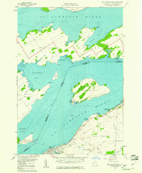
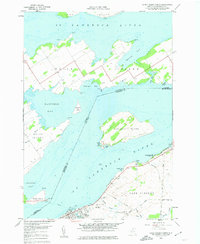
Editions of this 1958 Cape Vincent North Map
3 editions found
Other maps of this area

1895 · Cape Vincent
USGS Topo · 1:62,500

1900 · Clayton
USGS Topo · 1:62,500

1903 · Grindstone
USGS Topo · 1:62,500

1903 · Clayton
USGS Topo · 1:62,500

1942 · Cape Vincent North
USGS Topo · 1:31,680

1942 · Chaumont
USGS Topo · 1:31,680

1942 · Sawmill Bay
USGS Topo · 1:31,680

1942 · Cape Vincent South
USGS Topo · 1:31,680
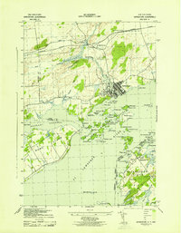
1943 · Grindstone
USGS Topo · 1:31,680
1944 · Cape Vincent
USGS Topo · 1:62,500