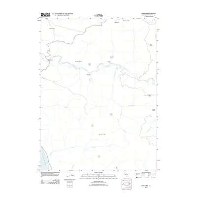
2012 Map of Capetown
USGS Topo · Published 2012About this map
The small settlement of Capetown sits at the western edge of this Humboldt County coastal region, positioned where the Bear River meets the sea. This landscape is defined by its dramatic ridges and ranching operations, including the Bonanza Ranch and Green Pond Ranch. The drainage systems of Davis Cr and Hollister Cr carve through high ground like Branstetter Ridge and Southmayd Ridge, illustrating the isolated and rural character of Northern California's coastline. Notable geological markers such as Smith Rock, Red Rock, and the prominent Twin Peaks rise above the gulches, while wide clearings like Indian Prairie and Joel Flat suggest a history of agricultural use along the river's path. These features collectively show a terrain where the local economy and settlement patterns are dictated by the steep topography and the course of the S Fork Bear River.
Find a feature on this map
29 named features on this map. Tap any name to fly to it.
Don’t see what you’re looking for? This feature index may not catch every label — zoom into the map to look around manually.
Map Details
Editions of this 2012 Capetown Map
This is the sole edition of this map. No revisions or reprints were ever made.
Other maps of this area

1916 · Cape Fortunas
USGS Topo · 1:62,500

1919 · Glynn
USGS Topo · 1:62,500

1921 · Cape Mendocino
USGS Topo · 1:62,500

1943 · Ferndale
USGS Topo · 1:62,500

1944 · Fortuna
USGS Topo · 1:62,500

1949 · Eureka
USGS Topo · 1:250,000

1950 · Cape Mendocino
USGS Topo · 1:62,500

1950 · Scotia
USGS Topo · 1:62,500

1951 · Scotia
USGS Topo · 1:62,500

1951 · Cape Mendocino
USGS Topo · 1:62,500