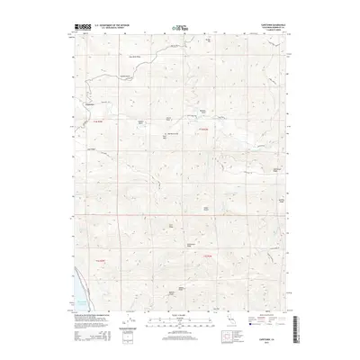
2015 Map of Capetown
USGS Topo · Published 2015About this map
Capetown sits at the northern edge of this coastal landscape, where the Bear River flows toward the Pacific Ocean. This 2015 survey reveals a terrain defined by high ridges and deep gulches, indicating a remote ranching or timber-oriented land use pattern typical of Humboldt County. Prominent landmarks such as Bear River Ridge and Branstetter Ridge dominate the interior, while named features like Flyblow Gulch and Bonanza Gulch suggest a history tied to early exploration and resource extraction.
Find a feature on this map
77 named features on this map. Tap any name to fly to it.
Don’t see what you’re looking for? This feature index may not catch every label — zoom into the map to look around manually.
Map Details
Editions of this 2015 Capetown Map
This is the sole edition of this map. No revisions or reprints were ever made.
Other maps of this area

1916 · Cape Fortunas
USGS Topo · 1:62,500

1919 · Glynn
USGS Topo · 1:62,500

1921 · Cape Mendocino
USGS Topo · 1:62,500

1943 · Ferndale
USGS Topo · 1:62,500

1944 · Fortuna
USGS Topo · 1:62,500

1949 · Eureka
USGS Topo · 1:250,000

1950 · Cape Mendocino
USGS Topo · 1:62,500

1950 · Scotia
USGS Topo · 1:62,500

1951 · Scotia
USGS Topo · 1:62,500

1951 · Cape Mendocino
USGS Topo · 1:62,500