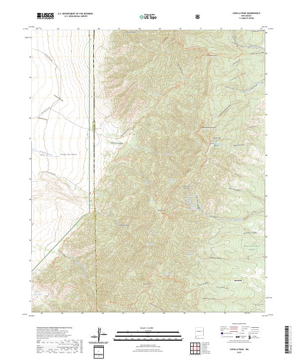
2023 Map of Capilla Peak
USGS Topo · Published 2023About this map
The high ridges of the Manzano Mountains dominate this survey, centered on the protected lands of the Manzano Mountain Wilderness and Cibola National Forest. The landscape is defined by its verticality, rising to prominent summits such as Gallo Peak and Osha Peak. Below these heights, the settlement of Manzano sits on the eastern edge of the mountains, adjacent to a network of drainage systems including Arroyo de Manzano and Cañon de la Capilla.
Find a feature on this map
83 named features on this map. Tap any name to fly to it.
Don’t see what you’re looking for? This feature index may not catch every label — zoom into the map to look around manually.
Map Details
Editions of this 2023 Capilla Peak Map
This is the sole edition of this map. No revisions or reprints were ever made.
Other maps of this area

1917 · Estancia
USGS Topo · 1:125,000

1952 · Tome SE
USGS Topo · 1:24,000

1952 · Tome NE
USGS Topo · 1:24,000

1952 · Los Lunas SE
USGS Topo · 1:24,000

1954 · Bosque Peak
USGS Topo · 1:24,000

1954 · Capilla Peak
USGS Topo · 1:24,000

1954 · Torreon
USGS Topo · 1:24,000

1954 · Tajique
USGS Topo · 1:24,000

1954 · Torreon
USGS Topo · 1:62,500

1954 · Socorro
USGS Topo · 1:250,000