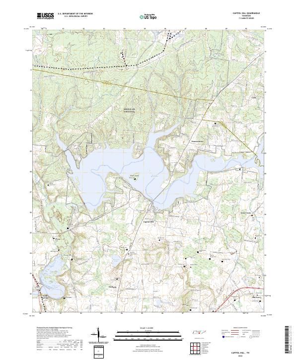
2022 Map of Capitol Hill
USGS Topo · Published 2022About this map
Woods Reservoir dominates the central landscape of this southern Tennessee terrain, where the waters of the Elk River are impounded near Capitol Hill. The map reveals a dense concentration of family and community burial grounds, such as Duncans Stagecoach Cem, Old Grays Mill Cem, and Gossage Cem, which offer significant value for genealogical research in this portion of Coffee and Franklin Counties.
Find a feature on this map
112 named features on this map. Tap any name to fly to it.
Don’t see what you’re looking for? This feature index may not catch every label — zoom into the map to look around manually.
Map Details
Editions of this 2022 Capitol Hill Map
This is the sole edition of this map. No revisions or reprints were ever made.
Other maps of this area

1895 · Sewanee
USGS Topo · 1:125,000

1928 · Decherd
USGS Topo · 1:62,500

1936 · Ovoca
USGS Topo · 1:24,000

1936 · Sewanee
USGS Topo · 1:24,000

1936 · Alto
USGS Topo · 1:24,000

1936 · Manchester
USGS Topo · 1:24,000

1936 · Winchester
USGS Topo · 1:24,000

1936 · Hillsboro
USGS Topo · 1:24,000

1936 · Belvidere
USGS Topo · 1:24,000

1936 · Camp Peay
USGS Topo · 1:24,000