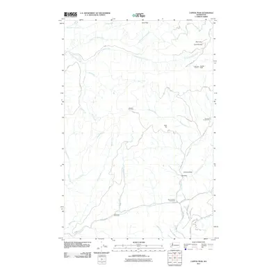
2011 Map of Capitol Peak
USGS Topo · Published 2011About this map
Capitol Peak and the surrounding heights of the Black Hills dominate this high-elevation landscape, anchored by the Capitol Peak Lookout at the summit. The area is defined by a dense network of forest roads like Cedar Creek Rd and various Capitol Frst routes that navigate the complex drainage systems of the North Fork Porter Creek and South Fork Porter Creek.
Find a feature on this map
34 named features on this map. Tap any name to fly to it.
Don’t see what you’re looking for? This feature index may not catch every label — zoom into the map to look around manually.
Map Details
Editions of this 2011 Capitol Peak Map
This is the sole edition of this map. No revisions or reprints were ever made.
Other maps of this area

1939 · Shelton
USGS Topo · 1:62,500

1941 · Gate
USGS Topo · 1:62,500

1941 · Ford
USGS Topo · 1:62,500

1943 · Nahwatzel Lake
USGS Topo · 1:62,500

1953 · Hoquiam
USGS Topo · 1:250,000

1953 · Rochester
USGS Topo · 1:62,500

1953 · Malone
USGS Topo · 1:62,500

1953 · Shelton
USGS Topo · 1:62,500

1953 · Elma
USGS Topo · 1:62,500

1957 · Hoquiam
USGS Topo · 1:250,000