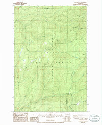
1986 Map of Capitol Peak
USGS Topo · Published 1986About this map
Capitol State Forest dominates this mid-1980s landscape, centered on the high elevations of the Black Hills. This provisional survey illustrates a region defined by managed timberlands and recreational infrastructure, notably the many camps and staging areas such as the North Creek Campground and Fall Creek Campground. The topography is defined by sharp ridges like Larch Mtn and Capitol Peak, the latter serving as a communication hub indicated by the presence of Radio Towers.
Find a feature on this map
29 named features on this map. Tap any name to fly to it.
Don’t see what you’re looking for? This feature index may not catch every label — zoom into the map to look around manually.
Map Details
Editions of this 1986 Capitol Peak Map
2 editions found
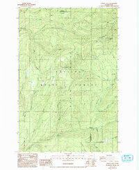
Other maps of this area

1939 · Shelton
USGS Topo · 1:62,500

1941 · Gate
USGS Topo · 1:62,500

1941 · Ford
USGS Topo · 1:62,500

1943 · Nahwatzel Lake
USGS Topo · 1:62,500

1953 · Hoquiam
USGS Topo · 1:250,000

1953 · Rochester
USGS Topo · 1:62,500

1953 · Malone
USGS Topo · 1:62,500

1953 · Shelton
USGS Topo · 1:62,500

1953 · Elma
USGS Topo · 1:62,500

1957 · Hoquiam
USGS Topo · 1:250,000