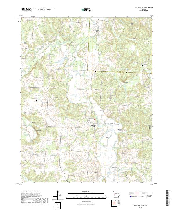
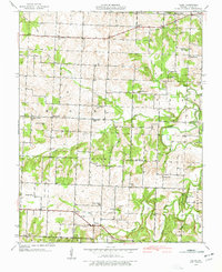
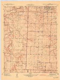
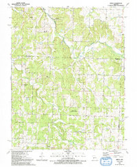
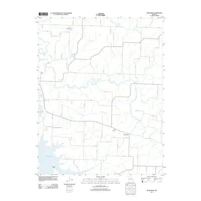
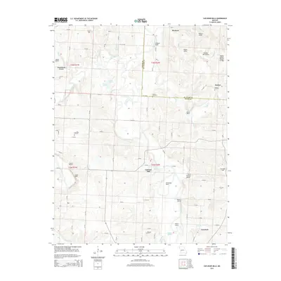
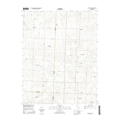
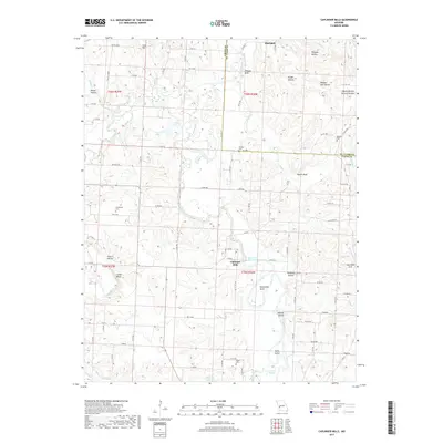
2021 Map of Caplinger Mills
USGS Topo · Published 2021About this map
Caplinger Mills serves as the focal point of this landscape, situated along the Sac River and the Sac River Reservoir. The terrain is defined by the winding river valley and its numerous offshoots, including Horseshoe Bend and several named bluffs like Vilhauer Bluff and Moore Bluff. The mapping reveals a rural infrastructure of family-named cemeteries and landmarks that speak to the area's long-standing settlement history, such as Hackleman Cem, Rookins Cem, and the Haynie Branch Natural Bridges.
Find a feature on this map
96 named features on this map. Tap any name to fly to it.
Don’t see what you’re looking for? This feature index may not catch every label — zoom into the map to look around manually.
Map Details
Editions of this 2021 Caplinger Mills Map
This is the sole edition of this map. No revisions or reprints were ever made.
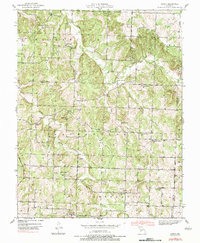
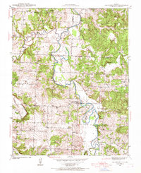
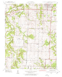
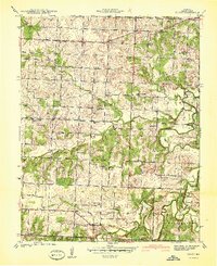
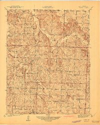
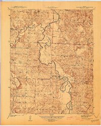
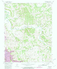
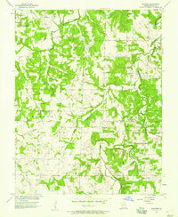
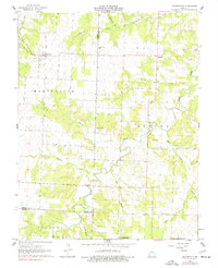
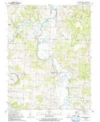
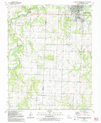
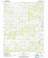
Historical Maps of Rookins Through Time
43 maps found
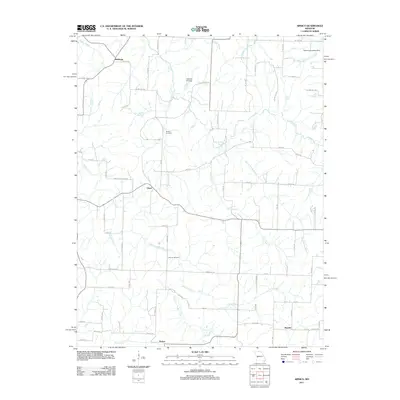
1939 Arnica
Cedar County, MO
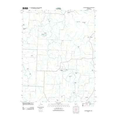
1939 Caplinger Mills
Cedar County, MO
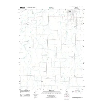
1939 Eldorado Springs South
Cedar County, MO
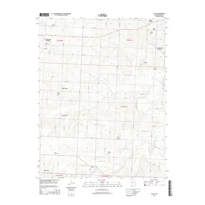
1939 Filley
Cedar County, MO
1940 Filley
Cedar County, MO
1941 Arnica
Cedar County, MO
1941 Caplinger Mills
Cedar County, MO
1942 Eldorado Springs South
Cedar County, MO
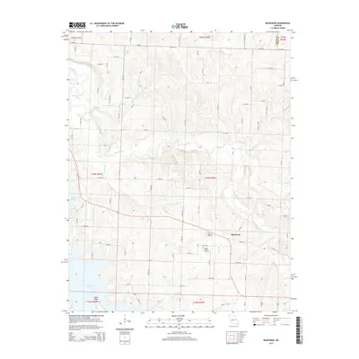
1956 Bearcreek
Cedar County, MO
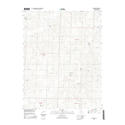
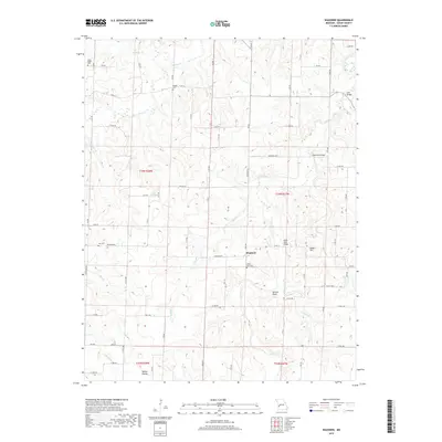
1956 Wagoner
Cedar County, MO
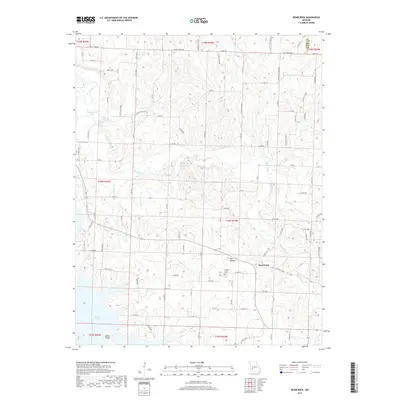
1962 Montevallo
Cedar County, MO
1991 Arnica
Cedar County, MO
1991 Caplinger Mills
Cedar County, MO
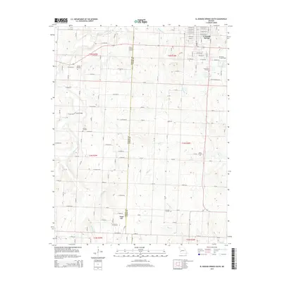
1991 El Dorado Springs South
Cedar County, MO
1991 Filley
Cedar County, MO
2011 Arnica
Cedar County, MO
2011 Bearcreek
Cedar County, MO
2011 Caplinger Mills
Cedar County, MO
2011 El Dorado Springs South
Cedar County, MO
2011 Filley
Cedar County, MO
2011 Montevallo
Cedar County, MO
2011 Wagoner
Cedar County, MO
2015 Arnica
Cedar County, MO
2015 Bearcreek
Cedar County, MO
2015 Caplinger Mills
Cedar County, MO
2015 El Dorado Springs South
Cedar County, MO
2015 Filley
Cedar County, MO
2015 Montevallo
Cedar County, MO
2015 Wagoner
Cedar County, MO
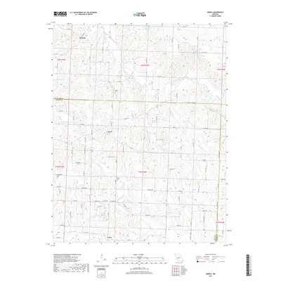
2017 Arnica
Cedar County, MO
2017 Bearcreek
Cedar County, MO
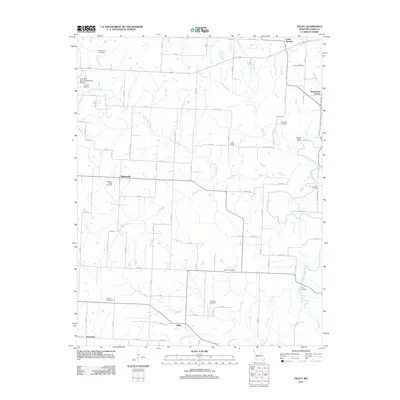
2017 Caplinger Mills
Cedar County, MO
2017 El Dorado Springs South
Cedar County, MO
2017 Filley
Cedar County, MO
2017 Montevallo
Cedar County, MO
2017 Wagoner
Cedar County, MO
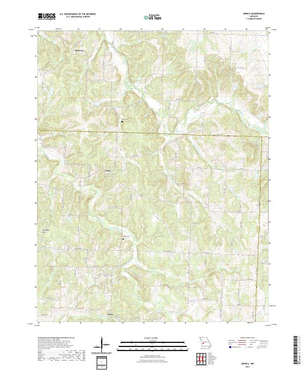
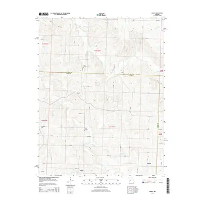
2021 Arnica
Cedar County, MO
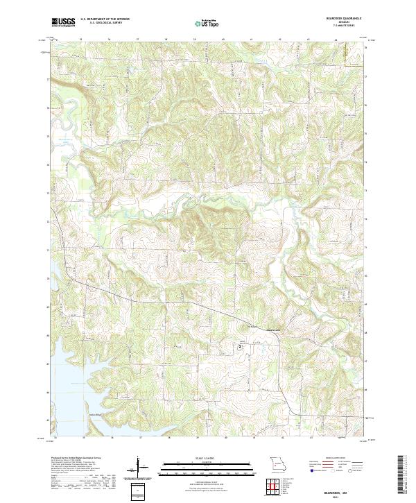
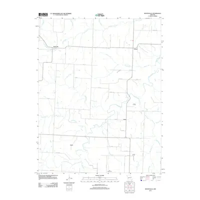
2021 Bearcreek
Cedar County, MO
2021 Caplinger Mills
Cedar County, MO
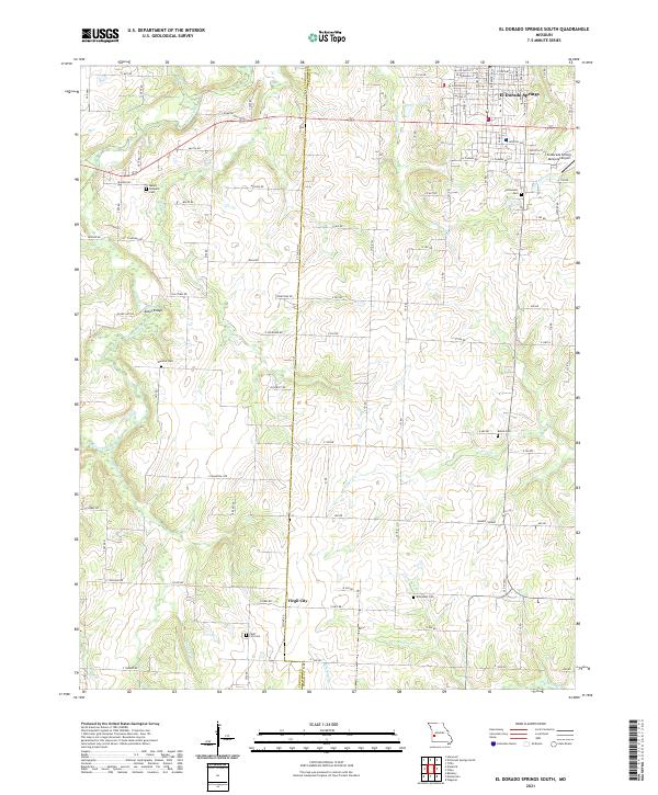
2021 El Dorado Springs South
Cedar County, MO
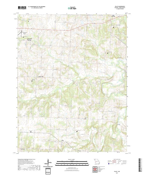
2021 Filley
Cedar County, MO
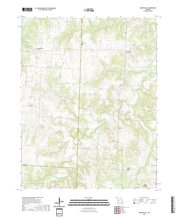
2021 Montevallo
Cedar County, MO
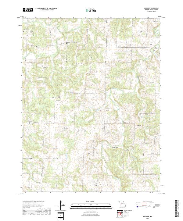
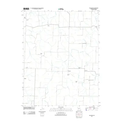
2021 Wagoner
Cedar County, MO