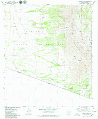
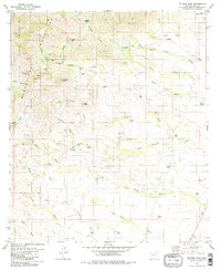
1979 Map of Caponera Peak
USGS Topo · Published 1979About this map
The Papago Indian Reservation spans this high-desert landscape where the Baboquivari Mountains meet the international border. In the late 1970s, the terrain shows a quiet history of habitation and survival, marked by the village site at Nachi Kulik and former settlements at Kom Kug (Site) and Sapano Vaya (Site). Further south, the Buenos Aires Ruins sit near the boundary with Sonora, reflecting the region's deep ranching and indigenous heritage.
Find a feature on this map
31 named features on this map. Tap any name to fly to it.
Don’t see what you’re looking for? This feature index may not catch every label — zoom into the map to look around manually.
Map Details
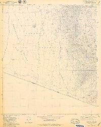
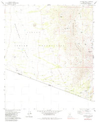
Editions of this 1979 Caponera Peak Map
3 editions found
Other maps of this area

1941 · Presumido Peak
USGS Topo · 1:62,500

1941 · Vamori
USGS Topo · 1:62,500

1943 · Fresnal
USGS Topo · 1:125,000

1943 · Presumido Peak
USGS Topo · 1:62,500

1943 · Vamori
USGS Topo · 1:62,500

1956 · Nogales
USGS Topo · 1:250,000

1958 · Nogales
USGS Topo · 1:250,000

1959 · Nogales
USGS Topo · 1:250,000
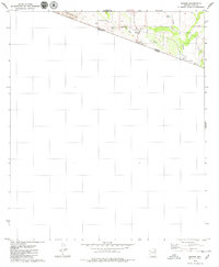
1979 · Sasabe
USGS Topo · 1:24,000
1979 · Mildred Peak
USGS Topo · 1:24,000
Featured Places
- Chukut Kuk District, AZ
- Newfield, Chukut Kuk District
- Buenos Aires, Chukut Kuk District
- Sapano Vaya, Chukut Kuk District
- Kom Kug, Chukut Kuk District