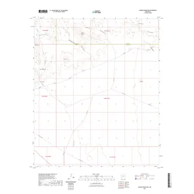
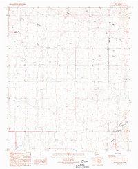
2023 Map of Caprock Mountain
USGS Topo · Published 2023About this map
Caprock Mountain and the high desert terrain of the Grant and Hidalgo County line define this southwestern New Mexico landscape. The survey documents a network of primitive roads and infrastructure essential for ranching and resource management in an arid environment, including Fuller Rd and Co RD a027. The drainage patterns are clearly marked by named ephemeral watercourses such as White Rock Canyon and Caprock Prong.
Find a feature on this map
28 named features on this map. Tap any name to fly to it.
Don’t see what you’re looking for? This feature index may not catch every label — zoom into the map to look around manually.
Map Details
Editions of this 2023 Caprock Mountain Map
This is the sole edition of this map. No revisions or reprints were ever made.
Other maps of this area

1954 · Silver City
USGS Topo · 1:250,000

1958 · Silver City
USGS Topo · 1:250,000

1959 · Redrock
USGS Topo · 1:62,500

1959 · Canador Peak
USGS Topo · 1:62,500

1962 · Silver City
USGS Topo · 1:250,000

1963 · Culberson Ranch
USGS Topo · 1:24,000
1964 · Summit
USGS Topo · 1:24,000
1964 · Ninemile Hill
USGS Topo · 1:24,000
1981 · Lordsburg
USGS Topo · 1:100,000
1990 · Willow Draw
USGS Topo · 1:24,000