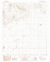
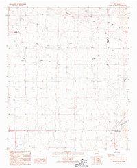
1990 Map of Caprock Mountain
USGS Topo · Published 1991About this map
Constellation Mine and the nearby Cliff Roy Mine reveal a landscape of active extraction on the slopes of Caprock Mountain. This 1990 survey captures the rugged mining and ranching character of Hidalgo County, where prospectors once sought fortune among the volcanic terrain. To the south, the vast expanse of Lordsburg Mesa is marked by modern infrastructure, including a prominent Trans Line and Pipeline that cut across the arid plains. The drainage patterns are dominated by White Rock Canyon and the South Fork Willow Draw, showing the intricate erosion of the high desert. Local landmarks such as Lane Mountain and Red Hill serve as distinct navigational points in an area defined by its mineral wealth and its position along the boundary of Grant and Hidalgo counties.
Find a feature on this map
19 named features on this map. Tap any name to fly to it.
Don’t see what you’re looking for? This feature index may not catch every label — zoom into the map to look around manually.
Map Details
Editions of this 1990 Caprock Mountain Map
This is the sole edition of this map. No revisions or reprints were ever made.
Other maps of this area

1954 · Silver City
USGS Topo · 1:250,000

1958 · Silver City
USGS Topo · 1:250,000

1959 · Redrock
USGS Topo · 1:62,500

1959 · Canador Peak
USGS Topo · 1:62,500

1962 · Silver City
USGS Topo · 1:250,000

1963 · Culberson Ranch
USGS Topo · 1:24,000
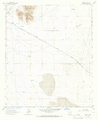
1964 · Summit
USGS Topo · 1:24,000
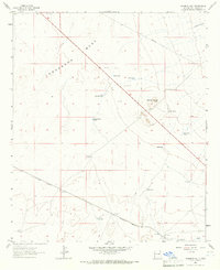
1964 · Ninemile Hill
USGS Topo · 1:24,000
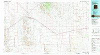
1981 · Lordsburg
USGS Topo · 1:100,000
1990 · Willow Draw
USGS Topo · 1:24,000