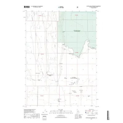
2018 Map of Captain Jacks Stronghold
USGS Topo · Published 2018About this map
Captain Jacks Stronghold and Canby Cross mark this northern California landscape, preserving locations of significant historical conflict within the Lava Beds National Monument. The terrain is defined by volcanic features, including the Schonchin Flow, Black Crater, and unique formations like Fleener Chimneys and Ross Chimneys. To the north, the transition from high desert volcanic fields to the wetlands of Tule Lake is evident, with much of the water's edge protected within the Tule Lake National Wildlife Refuge. The map also identifies Gillems Graveyard near Gillem Bluff, providing specific points of interest for genealogists and historians studying the Modoc War era. This survey details the stark geography of the Modoc National Forest, where lava flows meet the southern reaches of Peninsula Bay.
Find a feature on this map
39 named features on this map. Tap any name to fly to it.
Don’t see what you’re looking for? This feature index may not catch every label — zoom into the map to look around manually.
Map Details
Editions of this 2018 Captain Jacks Stronghold Map
This is the sole edition of this map. No revisions or reprints were ever made.
Other maps of this area

1886 · Modoc Lava Bed
USGS Topo · 1:250,000

1892 · Modoc Lava-Bed
USGS Topo · 1:250,000

1950 · Mt. Dome
USGS Topo · 1:62,500

1951 · Tulelake
USGS Topo · 1:62,500

1952 · Timber Mountain
USGS Topo · 1:62,500

1952 · Medicine Lake
USGS Topo · 1:62,500

1954 · Alturas
USGS Topo · 1:250,000

1958 · Alturas
USGS Topo · 1:250,000

1962 · Alturas
USGS Topo · 1:250,000

1965 · Alturas
USGS Topo · 1:250,000