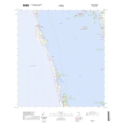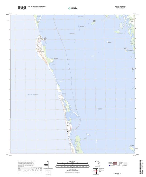
2025 Map of Captiva
USGS Topo · Published 2025About this map
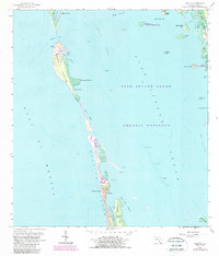
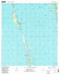
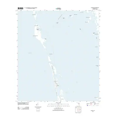
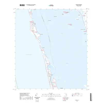
The barrier islands of Lee County are defined by a complex network of channels and shoals where the Gulf of America meets Pine Island Sound. On Captiva, the settlement is concentrated along Captiva Dr and S Seas Plantation Rd, anchored by the Captiva Historic Cem and local post office. To the north, North Captiva Island remains more secluded, reachable by water or via the Salty Approach Airport, with the Cayo Costa State Park Trl winding through the southern tip of Cayo Costa.
Find a feature on this map
46 named features on this map. Tap any name to fly to it.
Don’t see what you’re looking for? This feature index may not catch every label — zoom into the map to look around manually.
Map Details
Editions of this 2025 Captiva Map
This is the sole edition of this map. No revisions or reprints were ever made.
Historical Maps of Sanibel Through Time
8 maps found