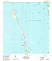
1958 Map of Captiva
USGS Topo · Published 1987About this map
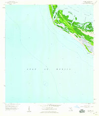
Captiva Island and its surrounding keys are documented in this mid-century survey, revealing a landscape defined by tidal channels and barrier island geography. The settlement at Captiva serves as the primary hub, anchored by the iconic Chapel by the Sea and a modest network of roads. To the north, the island narrows significantly at the South Banks, leading toward the Landing Strip and Safety Harbor.
Find a feature on this map
37 named features on this map. Tap any name to fly to it.
Don’t see what you’re looking for? This feature index may not catch every label — zoom into the map to look around manually.
Map Details
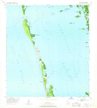
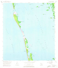
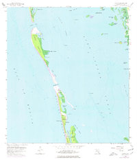
Editions of this 1958 Captiva Map
5 editions found
Other maps of this area

1956 · Tampa
USGS Topo · 1:250,000

1956 · Charlotte Harbor
USGS Topo · 1:250,000

1958 · Matlacha
USGS Topo · 1:24,000

1958 · Captiva
USGS Topo · 1:24,000

1958 · Port Boca Grande
USGS Topo · 1:24,000

1958 · Sanibel
USGS Topo · 1:24,000

1958 · Pine Island Center
USGS Topo · 1:24,000

1958 · Bokeelia
USGS Topo · 1:24,000
1958 · Wulfert
USGS Topo · 1:24,000

1959 · Tampa
USGS Topo · 1:250,000