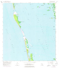
1958 Map of Captiva
USGS Topo · Published 1977About this map
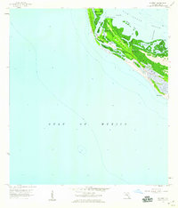
Captiva Island and its northern counterpart, North Captiva Island, are separated by the waters of Redfish Pass in this mid-century topographic survey. The settlement of Captiva occupies the southern island, featuring landmarks such as the Chapel by the Sea and a Flowing Well located near Chadwick Bayou. To the east, across the Pine Island Sound, the shoreline of Pine Island is visible, including Demere Landing and portions of the Pine Island National Wildlife Refuge. The map provides a detailed look at the island geography before significant modern development, illustrating the relationship between the Gulf of Mexico and the intricate inland waterways of Safety Harbor, Roosevelt Channel, and Buck Key Channel. Smaller features like Cork Key, Josslyn Island, and Hemp Island dot the sound, while Cayo Costa borders the northern edge at Captiva Pass.
Find a feature on this map
38 named features on this map. Tap any name to fly to it.
Don’t see what you’re looking for? This feature index may not catch every label — zoom into the map to look around manually.
Map Details
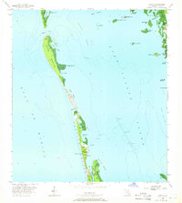
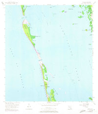
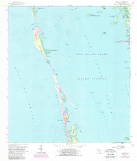
Editions of this 1958 Captiva Map
5 editions found
Other maps of this area

1956 · Tampa
USGS Topo · 1:250,000

1956 · Charlotte Harbor
USGS Topo · 1:250,000

1958 · Matlacha
USGS Topo · 1:24,000

1958 · Captiva
USGS Topo · 1:24,000

1958 · Port Boca Grande
USGS Topo · 1:24,000

1958 · Sanibel
USGS Topo · 1:24,000

1958 · Pine Island Center
USGS Topo · 1:24,000

1958 · Bokeelia
USGS Topo · 1:24,000
1958 · Wulfert
USGS Topo · 1:24,000

1959 · Tampa
USGS Topo · 1:250,000